capestang -
A cycling route starting in Capestang, Languedoc-Roussillon-Midi-Pyrénées, France.
Overview
About this route
- -:--
- Duration
- 46 km
- Distance
- 154 m
- Ascent
- 185 m
- Descent
- ---
- Avg. speed
- 49 m
- Avg. speed
Route quality
Waytypes & surfaces along the route
Waytypes
Cycleway
21.3 km
(46 %)
Path
8.2 km
(18 %)
Surfaces
Paved
25 km
(54 %)
Unpaved
16.7 km
(36 %)
Asphalt
24.7 km
(54 %)
Gravel
10.1 km
(22 %)
Continue with Bikemap
Use, edit, or download this cycling route
You would like to ride capestang - or customize it for your own trip? Here is what you can do with this Bikemap route:
Free features
- Save this route as favorite or in collections
- Copy & plan your own version of this route
- Sync your route with Garmin or Wahoo
Premium features
Free trial for 3 days, or one-time payment. More about Bikemap Premium.
- Navigate this route on iOS & Android
- Export a GPX / KML file of this route
- Create your custom printout (try it for free)
- Download this route for offline navigation
Discover more Premium features.
Get Bikemap PremiumFrom our community
Other popular routes starting in Capestang
- FR Capestang - nach Quillan
- Distance
- 123.8 km
- Ascent
- 1,108 m
- Descent
- 826 m
- Location
- Capestang, Languedoc-Roussillon-Midi-Pyrénées, France
- Capestang - Narbone
- Distance
- 18.9 km
- Ascent
- 29 m
- Descent
- 41 m
- Location
- Capestang, Languedoc-Roussillon-Midi-Pyrénées, France
- jour 9
- Distance
- 80.3 km
- Ascent
- 156 m
- Descent
- 74 m
- Location
- Capestang, Languedoc-Roussillon-Midi-Pyrénées, France
- capestang -
- Distance
- 46 km
- Ascent
- 154 m
- Descent
- 185 m
- Location
- Capestang, Languedoc-Roussillon-Midi-Pyrénées, France
- Poilhes-Ajas
- Distance
- 341.9 km
- Ascent
- 2,224 m
- Descent
- 1,711 m
- Location
- Capestang, Languedoc-Roussillon-Midi-Pyrénées, France
- entre canal et vignoble
- Distance
- 27.8 km
- Ascent
- 1,218 m
- Descent
- 1,190 m
- Location
- Capestang, Languedoc-Roussillon-Midi-Pyrénées, France
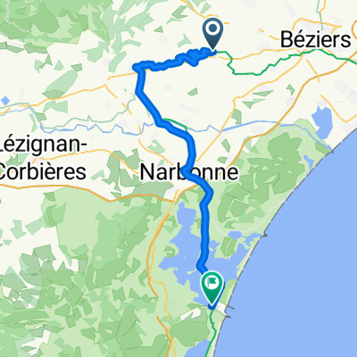
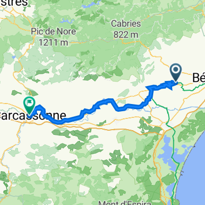
- Montels - Canal du Midi
- Distance
- 24.3 km
- Ascent
- 76 m
- Descent
- 76 m
- Location
- Capestang, Languedoc-Roussillon-Midi-Pyrénées, France
- Route to Sète
- Distance
- 70.2 km
- Ascent
- 232 m
- Descent
- 249 m
- Location
- Capestang, Languedoc-Roussillon-Midi-Pyrénées, France
Open it in the app