

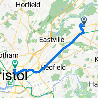
Route to Bristol City Centre
- 6.7 km
- 21 m
- 64 m
- Mangotsfield, England, United Kingdom
A cycling route starting in Mangotsfield, England, United Kingdom.
Overview
Down snowdon road/channons hill and onto fishponds road
turn right towards town, then left onto lodge causeway B4048
road changes names into lodge hill, lodge road
road merges with A4017 soundwell road (3.7km)
after 300m turn left onto A420 Regent st
follow A470 for just under 11km until A46 crossroads
turn right onto A46
continue for 1.7km then left turn onto Leigh ln
continue down leigh ln for approx 6km (changes into Ramscombe ln - right fork)
Hill rep up Hollies ln (make note of milage at turn point) then continue down onto Brow hill
after 2.5km from turn point, right turn onto solisbury ln - hill rep
turn round when ln bends to right (at top...)
back down solsbury ln, then right onto high st
follow high st for 400m then right onto ballbrook ln
changes to Ferndale rd then St saviours rd/Deadmill ln... bear left, then right turn after stream onto valley view rd
after approx 700m road forks right onto colliers ln
continue on colliers ln for 1.2km, then left turn onto Granville rd
left at T-junction onto Landsdown rd
stay on landsdown rd for just under 2km, then sharp right onto Julian rd
name changes to Weston rd, weston ln, Crown rd, High st, then right at mini roundabout onto Landsdown ln (approx 2.7km after turn)
left at T-junction through landsdown
follow road round to left 2.3km from turn onto bath rd
Left at A420
continue along A420 for 3.4km, then right at double roundabout (Bridgeyate) onto Webbs Heath (make note of milage)
continue straight onto siston ln
left turn onto B4465 Shortwood hill after 3km from double roundabout
left fork onto shortwood hill
crosses A4174 after approx 1.2km
at T-junction turn left, then right onto mangotsfield rd B4465
turns into A4175 for short section, then back to B4465, fishponds rd, manor rd
whole section approx 5km from A4174 crossing
created this 13 years ago
Route quality
Quiet road
20 km
(35 %)
Road
14.9 km
(26 %)
Paved
20 km
(35 %)
Asphalt
19.4 km
(34 %)
Paved (undefined)
0.6 km
(1 %)
Undefined
37.2 km
(65 %)
Continue with Bikemap
You would like to ride North Bath hills or customize it for your own trip? Here is what you can do with this Bikemap route:
Free trial for 3 days, or one-time payment. More about Bikemap Premium.
Discover more Premium features.
Get Bikemap PremiumFrom our community
Open it in the app


