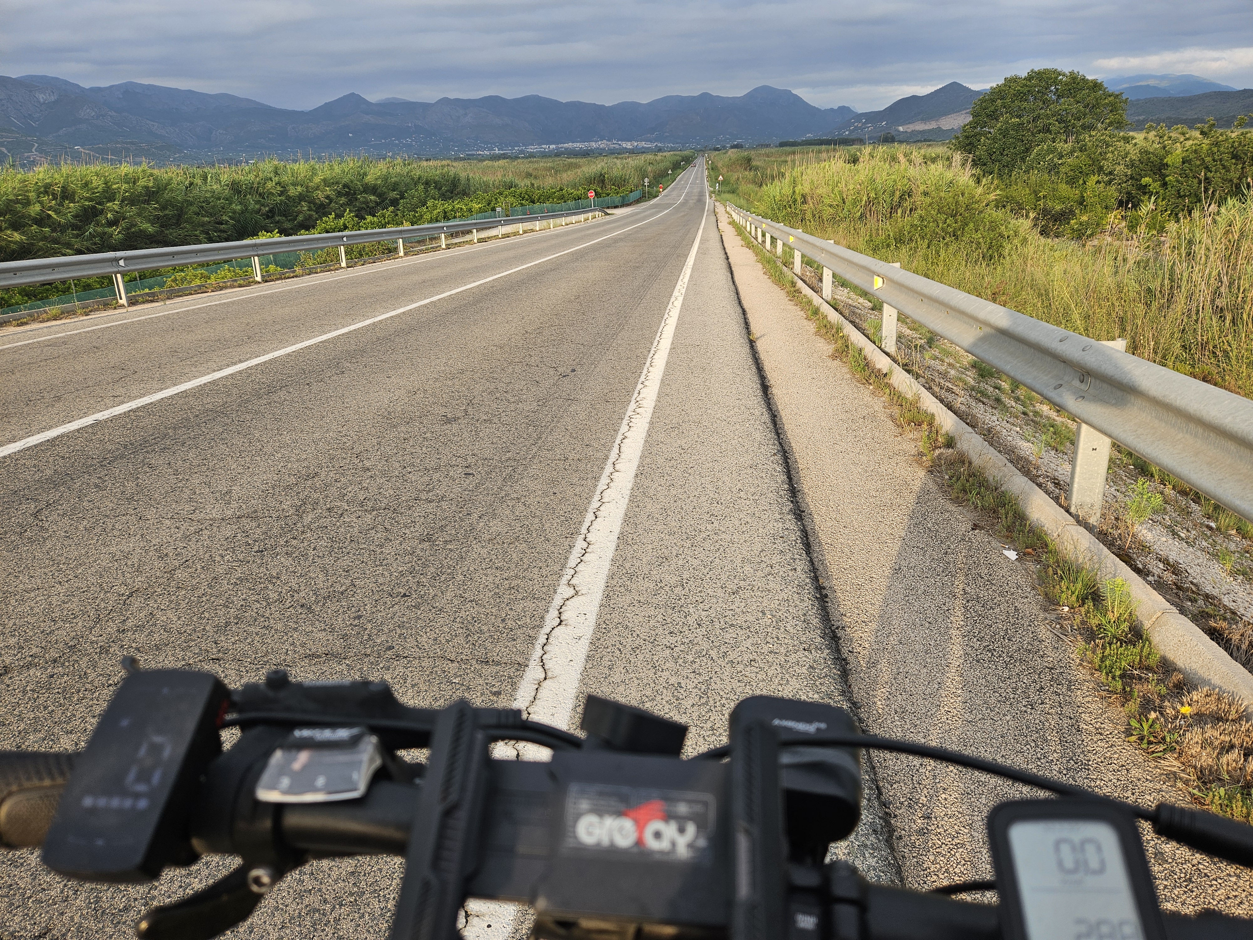
COLL RATES+MONTGO
A cycling route starting in Oliva, Valencia, Spain.
Overview
About this route
- -:--
- Duration
- 94 km
- Distance
- 1,228 m
- Ascent
- 1,227 m
- Descent
- ---
- Avg. speed
- 629 m
- Max. altitude
Route quality
Waytypes & surfaces along the route
Waytypes
Quiet road
13.2 km
(14 %)
Cycleway
10.3 km
(11 %)
Surfaces
Paved
56.4 km
(60 %)
Unpaved
0.9 km
(1 %)
Asphalt
55.5 km
(59 %)
Paved (undefined)
0.9 km
(1 %)
Continue with Bikemap
Use, edit, or download this cycling route
You would like to ride COLL RATES+MONTGO or customize it for your own trip? Here is what you can do with this Bikemap route:
Free features
- Save this route as favorite or in collections
- Copy & plan your own version of this route
- Split it into stages to create a multi-day tour
- Sync your route with Garmin or Wahoo
Premium features
Free trial for 3 days, or one-time payment. More about Bikemap Premium.
- Navigate this route on iOS & Android
- Export a GPX / KML file of this route
- Create your custom printout (try it for free)
- Download this route for offline navigation
Discover more Premium features.
Get Bikemap PremiumFrom our community
Other popular routes starting in Oliva
 Oliva-Montixelvo-Beniarrés-Margarida-Oliva
- Distance
- 100.5 km
- Ascent
- 876 m
- Descent
- 881 m
- Location
- Oliva, Valencia, Spain
 Oliva-Forna-Margarida-Vall D'ebo-Pego
- Distance
- 77.2 km
- Ascent
- 879 m
- Descent
- 879 m
- Location
- Oliva, Valencia, Spain

4169®
Tag 45 über den "Parc Natural de la Marjal Pego-Oliva" nach Pego zum Kaffee...- Distance
- 32.1 km
- Ascent
- 123 m
- Descent
- 115 m
- Location
- Oliva, Valencia, Spain

4169®
Auf der informativen Suche nach weiteren Übetwinterungsplätzen.- Distance
- 22.7 km
- Ascent
- 13 m
- Descent
- 16 m
- Location
- Oliva, Valencia, Spain
 Oliva-Alfauir-Oliva
- Distance
- 34.1 km
- Ascent
- 194 m
- Descent
- 200 m
- Location
- Oliva, Valencia, Spain

2700®
Tag 17 Sightseeing und Einkaufen in Oliva- Distance
- 16.3 km
- Ascent
- 64 m
- Descent
- 36 m
- Location
- Oliva, Valencia, Spain
 Val d'Ebo
- Distance
- 22.7 km
- Ascent
- 594 m
- Descent
- 253 m
- Location
- Oliva, Valencia, Spain
 ap.enric-pantano beniarres-ap.enric
- Distance
- 89.8 km
- Ascent
- 980 m
- Descent
- 980 m
- Location
- Oliva, Valencia, Spain
Open it in the app


