

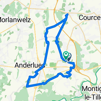
La Thure (1)
A cycling route starting in Anderlues, Wallonia, Belgium.
Overview
About this route
Une des balades typiques des Crazybikers. Une jolie incursion dans le Nord de la France, en Avesnois, et, dans la deuxième partie du parcours, la traversée de Hestrud suivie de 8 km à fond dans la vallée de la Thure, portion du parcours où notre vitesse moyenne est proche des 40 km/heure.
- -:--
- Duration
- 82 km
- Distance
- 364 m
- Ascent
- 364 m
- Descent
- ---
- Avg. speed
- ---
- Max. altitude

Route quality
Waytypes & surfaces along the route
Waytypes
Busy road
31 km
(38 %)
Road
29.9 km
(37 %)
Surfaces
Paved
16.2 km
(20 %)
Unpaved
0 km
(<1 %)
Asphalt
12.7 km
(15 %)
Concrete
2.7 km
(3 %)
Continue with Bikemap
Use, edit, or download this cycling route
You would like to ride La Thure (1) or customize it for your own trip? Here is what you can do with this Bikemap route:
Free features
- Save this route as favorite or in collections
- Copy & plan your own version of this route
- Split it into stages to create a multi-day tour
- Sync your route with Garmin or Wahoo
Premium features
Free trial for 3 days, or one-time payment. More about Bikemap Premium.
- Navigate this route on iOS & Android
- Export a GPX / KML file of this route
- Create your custom printout (try it for free)
- Download this route for offline navigation
Discover more Premium features.
Get Bikemap PremiumFrom our community
Other popular routes starting in Anderlues
 After work Landelies - Wespes - MLT
- Distance
- 18.7 km
- Ascent
- 279 m
- Descent
- 279 m
- Location
- Anderlues, Wallonia, Belgium
 anderlues mettet
- Distance
- 105.1 km
- Ascent
- 501 m
- Descent
- 501 m
- Location
- Anderlues, Wallonia, Belgium
 Rue Houdoux 28, Anderlues to Rue Houdoux 28, Anderlues
- Distance
- 13.9 km
- Ascent
- 524 m
- Descent
- 524 m
- Location
- Anderlues, Wallonia, Belgium
 Route in Fontaine-l'Évêque
- Distance
- 14.5 km
- Ascent
- 109 m
- Descent
- 109 m
- Location
- Anderlues, Wallonia, Belgium
 La Thure (1)
- Distance
- 82 km
- Ascent
- 364 m
- Descent
- 364 m
- Location
- Anderlues, Wallonia, Belgium
 Route in Fontaine-l'Évêque
- Distance
- 27.2 km
- Ascent
- 248 m
- Descent
- 247 m
- Location
- Anderlues, Wallonia, Belgium
 Balade Oct 2025 - 27 Km
- Distance
- 27.3 km
- Ascent
- 141 m
- Descent
- 140 m
- Location
- Anderlues, Wallonia, Belgium
 Balade familiale 2021-22 Fontaine - Monceau
- Distance
- 11.7 km
- Ascent
- 134 m
- Descent
- 132 m
- Location
- Anderlues, Wallonia, Belgium
Open it in the app