

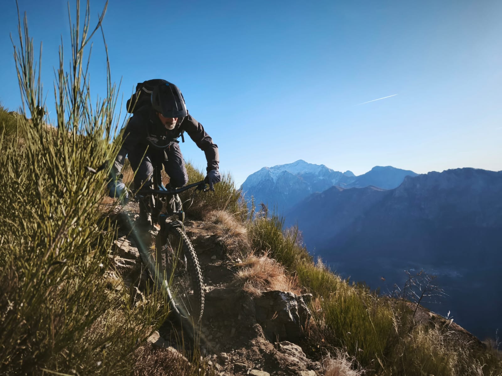
Monte Gazza Variante B "805 Secret Trail"
A cycling route starting in San Lorenzo in Banale, Trentino-Alto Adige, Italy.
Overview
About this route
- -:--
- Duration
- 33.2 km
- Distance
- 1,750 m
- Ascent
- 1,749 m
- Descent
- ---
- Avg. speed
- 1,761 m
- Max. altitude
Continue with Bikemap
Use, edit, or download this cycling route
You would like to ride Monte Gazza Variante B "805 Secret Trail" or customize it for your own trip? Here is what you can do with this Bikemap route:
Free features
- Save this route as favorite or in collections
- Copy & plan your own version of this route
- Sync your route with Garmin or Wahoo
Premium features
Free trial for 3 days, or one-time payment. More about Bikemap Premium.
- Navigate this route on iOS & Android
- Export a GPX / KML file of this route
- Create your custom printout (try it for free)
- Download this route for offline navigation
Discover more Premium features.
Get Bikemap PremiumFrom our community
Other popular routes starting in San Lorenzo in Banale
 Dal Lago di Nembia a Molveno
- Distance
- 14.1 km
- Ascent
- 193 m
- Descent
- 192 m
- Location
- San Lorenzo in Banale, Trentino-Alto Adige, Italy
 Via Claudia Etappe 6 (TA18)
- Distance
- 51.9 km
- Ascent
- 863 m
- Descent
- 1,588 m
- Location
- San Lorenzo in Banale, Trentino-Alto Adige, Italy
 Molveno Lake Loop
- Distance
- 15.2 km
- Ascent
- 575 m
- Descent
- 575 m
- Location
- San Lorenzo in Banale, Trentino-Alto Adige, Italy
 Via Claudia Etappe 6 (Andrea / MCT)
- Distance
- 44.3 km
- Ascent
- 179 m
- Descent
- 900 m
- Location
- San Lorenzo in Banale, Trentino-Alto Adige, Italy
 Monte Gazza Variante B "805 Secret Trail"
- Distance
- 33.2 km
- Ascent
- 1,750 m
- Descent
- 1,749 m
- Location
- San Lorenzo in Banale, Trentino-Alto Adige, Italy
 Agostini sent 325
- Distance
- 23.6 km
- Ascent
- 1,735 m
- Descent
- 1,736 m
- Location
- San Lorenzo in Banale, Trentino-Alto Adige, Italy
 Molveno süd-passo Ballino
- Distance
- 22.2 km
- Ascent
- 585 m
- Descent
- 378 m
- Location
- San Lorenzo in Banale, Trentino-Alto Adige, Italy
 San Lorenzo in Banale- Malcesine
- Distance
- 51.8 km
- Ascent
- 527 m
- Descent
- 1,284 m
- Location
- San Lorenzo in Banale, Trentino-Alto Adige, Italy
Open it in the app