x1.gpx
- 306.3 km
- 10,866 m
- 11,369 m
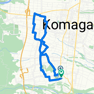
- Ina, Nagano, Japan
Overview
created this 1 year ago
Part of
planen
1 stage
Route quality
Quiet road
113.4 km
(52 %)
Road
56.7 km
(26 %)
Paved
15.3 km
(7 %)
Asphalt
8.7 km
(4 %)
Paved (undefined)
6.5 km
(3 %)
Undefined
202.8 km
(93 %)
Continue with Bikemap
You would like to ride takatoojou or customize it for your own trip? Here is what you can do with this Bikemap route:
Free trial for 3 days, or one-time payment. More about Bikemap Premium.
Discover more Premium features.
Get Bikemap PremiumFrom our community
Open it in the app