

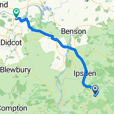
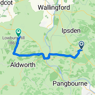
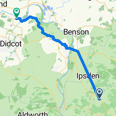
TB-Wildwood 80k
A cycling route starting in Goring, England, United Kingdom.
Overview
About this route
- -:--
- Duration
- 78.5 km
- Distance
- 1,025 m
- Ascent
- 1,022 m
- Descent
- ---
- Avg. speed
- 212 m
- Max. altitude

Route quality
Waytypes & surfaces along the route
Waytypes
Quiet road
37.7 km
(48 %)
Road
12.6 km
(16 %)
Surfaces
Paved
12.6 km
(16 %)
Unpaved
9.4 km
(12 %)
Paved (undefined)
5.5 km
(7 %)
Asphalt
5.5 km
(7 %)
Continue with Bikemap
Use, edit, or download this cycling route
You would like to ride TB-Wildwood 80k or customize it for your own trip? Here is what you can do with this Bikemap route:
Free features
- Save this route as favorite or in collections
- Copy & plan your own version of this route
- Sync your route with Garmin or Wahoo
Premium features
Free trial for 3 days, or one-time payment. More about Bikemap Premium.
- Navigate this route on iOS & Android
- Export a GPX / KML file of this route
- Create your custom printout (try it for free)
- Download this route for offline navigation
Discover more Premium features.
Get Bikemap PremiumFrom our community
Other popular routes starting in Goring
 High-speed route
- Distance
- 27.6 km
- Ascent
- 139 m
- Descent
- 309 m
- Location
- Goring, England, United Kingdom
 Home to Boo
- Distance
- 21.5 km
- Ascent
- 93 m
- Descent
- 181 m
- Location
- Goring, England, United Kingdom
 First attempt
- Distance
- 23.7 km
- Ascent
- 134 m
- Descent
- 280 m
- Location
- Goring, England, United Kingdom
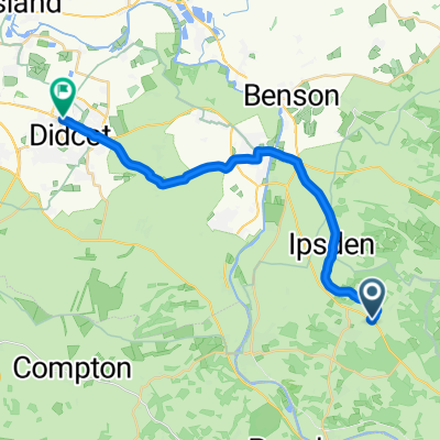
 The ridgeway-Day2
- Distance
- 77.9 km
- Ascent
- 625 m
- Descent
- 564 m
- Location
- Goring, England, United Kingdom
 Home to Sophi's Reading
- Distance
- 15.7 km
- Ascent
- 53 m
- Descent
- 172 m
- Location
- Goring, England, United Kingdom
 Home to Keepers Cottage
- Distance
- 18.1 km
- Ascent
- 227 m
- Descent
- 295 m
- Location
- Goring, England, United Kingdom
 TB-Wildwood 80k
- Distance
- 78.5 km
- Ascent
- 1,025 m
- Descent
- 1,022 m
- Location
- Goring, England, United Kingdom
 Home to Ryalls Barn
- Distance
- 21.1 km
- Ascent
- 53 m
- Descent
- 171 m
- Location
- Goring, England, United Kingdom
Open it in the app