

Trasa 2 "Pod Łyścem"
A cycling route starting in Stronie Śląskie, Lower Silesian Voivodeship, Poland.
Overview
About this route
Stary Gierałtów - Under the rock formation 'Three Sisters' - Goszów - Stary Gierałtów
- -:--
- Duration
- 14.6 km
- Distance
- 340 m
- Ascent
- 343 m
- Descent
- ---
- Avg. speed
- 820 m
- Max. altitude

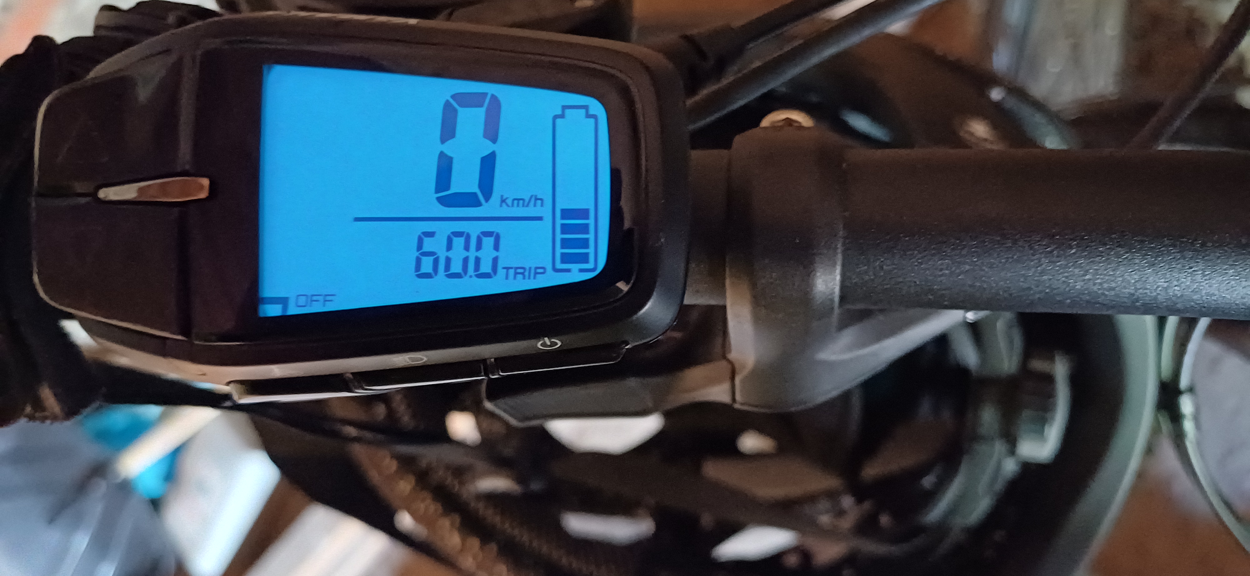
Route photos

Route quality
Waytypes & surfaces along the route
Waytypes
Track
7.3 km
(50 %)
Road
5 km
(34 %)
Surfaces
Paved
10.4 km
(71 %)
Unpaved
4.2 km
(29 %)
Asphalt
10.4 km
(71 %)
Gravel
4.2 km
(29 %)
Continue with Bikemap
Use, edit, or download this cycling route
You would like to ride Trasa 2 "Pod Łyścem" or customize it for your own trip? Here is what you can do with this Bikemap route:
Free features
- Save this route as favorite or in collections
- Copy & plan your own version of this route
- Sync your route with Garmin or Wahoo
Premium features
Free trial for 3 days, or one-time payment. More about Bikemap Premium.
- Navigate this route on iOS & Android
- Export a GPX / KML file of this route
- Create your custom printout (try it for free)
- Download this route for offline navigation
Discover more Premium features.
Get Bikemap PremiumFrom our community
Other popular routes starting in Stronie Śląskie
 Trasa nr 3
- Distance
- 34.8 km
- Ascent
- 1,101 m
- Descent
- 1,102 m
- Location
- Stronie Śląskie, Lower Silesian Voivodeship, Poland
 Blotnica - StronieSlaskie
- Distance
- 31.3 km
- Ascent
- 410 m
- Descent
- 675 m
- Location
- Stronie Śląskie, Lower Silesian Voivodeship, Poland
 Bike 1_2/15 Snieznik
- Distance
- 10.9 km
- Ascent
- 553 m
- Descent
- 546 m
- Location
- Stronie Śląskie, Lower Silesian Voivodeship, Poland
 Sienna, Stronie Śląskie nach Sienna, Stronie Śląskie
- Distance
- 37.1 km
- Ascent
- 1,115 m
- Descent
- 1,103 m
- Location
- Stronie Śląskie, Lower Silesian Voivodeship, Poland
 Kościuszki do Kościuszki 63A
- Distance
- 31.6 km
- Ascent
- 878 m
- Descent
- 952 m
- Location
- Stronie Śląskie, Lower Silesian Voivodeship, Poland
 d4-4_StronieSlaskie - Klodzko
- Distance
- 78.6 km
- Ascent
- 1,121 m
- Descent
- 1,120 m
- Location
- Stronie Śląskie, Lower Silesian Voivodeship, Poland
 Pradziad#hard
- Distance
- 202.7 km
- Ascent
- 2,515 m
- Descent
- 2,822 m
- Location
- Stronie Śląskie, Lower Silesian Voivodeship, Poland
 d4-3_StronieSlaskie - Klodzko - przel.Jaworowa
- Distance
- 81.2 km
- Ascent
- 1,147 m
- Descent
- 1,165 m
- Location
- Stronie Śląskie, Lower Silesian Voivodeship, Poland
Open it in the app