

Pętla Stronie Śląskie
A cycling route starting in Stronie Śląskie, Lower Silesian Voivodeship, Poland.
Overview
About this route
Trasa ze Stronia Śl. przez przeł Puchaczówka, pod Czarną Górą.
- -:--
- Duration
- 23.4 km
- Distance
- 591 m
- Ascent
- 595 m
- Descent
- ---
- Avg. speed
- 956 m
- Max. altitude

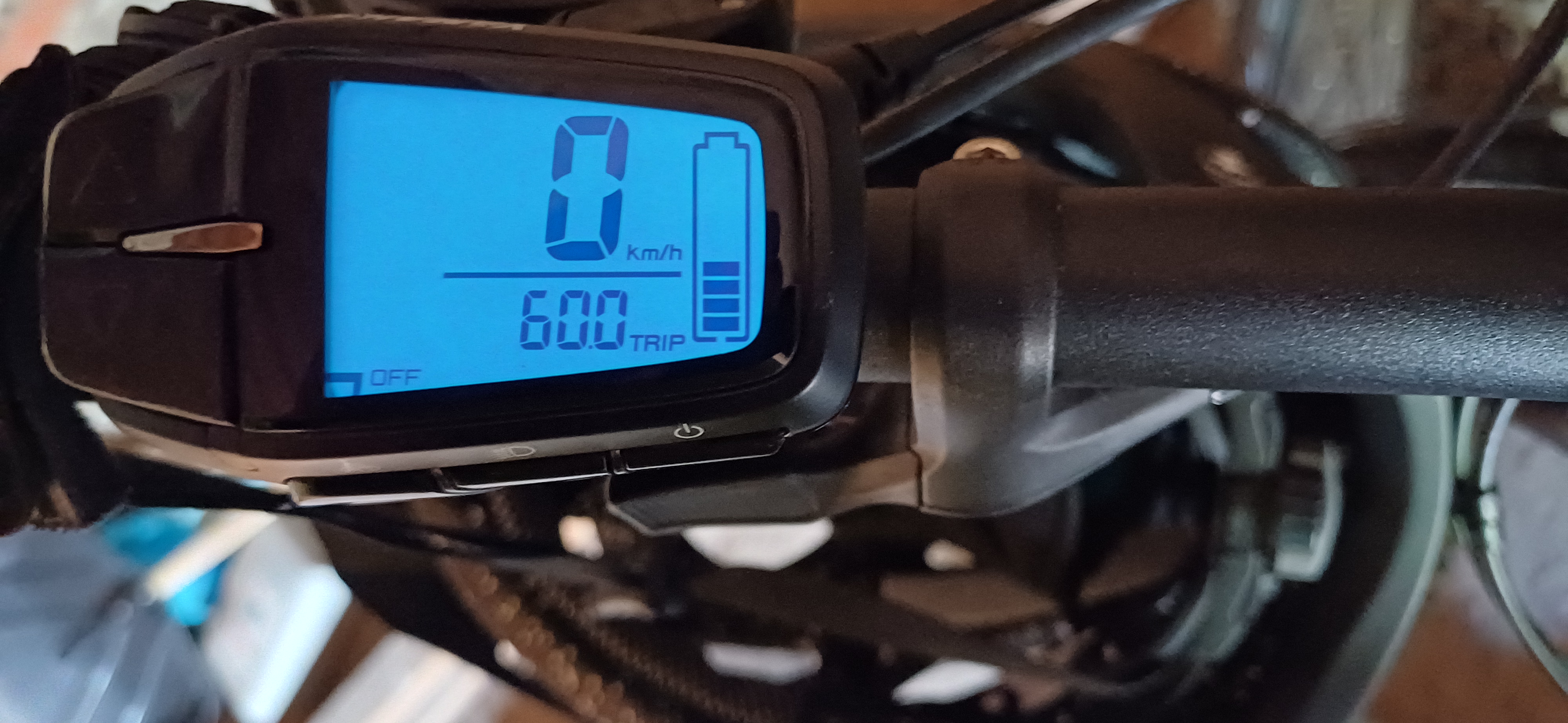
Route photos

Route quality
Waytypes & surfaces along the route
Waytypes
Path
8.9 km
(38 %)
Cycleway
5.8 km
(25 %)
Surfaces
Paved
2.3 km
(10 %)
Unpaved
7.2 km
(31 %)
Loose gravel
4.9 km
(21 %)
Ground
2.1 km
(9 %)
Continue with Bikemap
Use, edit, or download this cycling route
You would like to ride Pętla Stronie Śląskie or customize it for your own trip? Here is what you can do with this Bikemap route:
Free features
- Save this route as favorite or in collections
- Copy & plan your own version of this route
- Sync your route with Garmin or Wahoo
Premium features
Free trial for 3 days, or one-time payment. More about Bikemap Premium.
- Navigate this route on iOS & Android
- Export a GPX / KML file of this route
- Create your custom printout (try it for free)
- Download this route for offline navigation
Discover more Premium features.
Get Bikemap PremiumFrom our community
Other popular routes starting in Stronie Śląskie
 Kościuszki do Kościuszki 63A
- Distance
- 31.6 km
- Ascent
- 878 m
- Descent
- 952 m
- Location
- Stronie Śląskie, Lower Silesian Voivodeship, Poland
 Trasa 2 "Pod Łyścem"
- Distance
- 14.6 km
- Ascent
- 340 m
- Descent
- 343 m
- Location
- Stronie Śląskie, Lower Silesian Voivodeship, Poland
 Glacensis Pętla Stronie
- Distance
- 17.2 km
- Ascent
- 408 m
- Descent
- 549 m
- Location
- Stronie Śląskie, Lower Silesian Voivodeship, Poland
 d4-4_StronieSlaskie - Klodzko
- Distance
- 78.6 km
- Ascent
- 1,121 m
- Descent
- 1,120 m
- Location
- Stronie Śląskie, Lower Silesian Voivodeship, Poland
 Sienna-Śnieżnik-Międzygórze
- Distance
- 27.4 km
- Ascent
- 1,092 m
- Descent
- 1,092 m
- Location
- Stronie Śląskie, Lower Silesian Voivodeship, Poland
 Trasa nr 3
- Distance
- 34.8 km
- Ascent
- 1,101 m
- Descent
- 1,102 m
- Location
- Stronie Śląskie, Lower Silesian Voivodeship, Poland
 7 "Droga nad lejami"
- Distance
- 20.4 km
- Ascent
- 524 m
- Descent
- 523 m
- Location
- Stronie Śląskie, Lower Silesian Voivodeship, Poland
 Bike 1_2/15 Snieznik
- Distance
- 10.9 km
- Ascent
- 553 m
- Descent
- 546 m
- Location
- Stronie Śląskie, Lower Silesian Voivodeship, Poland
Open it in the app