Jozankei railway from Makomanai station to Jozankei
A cycling route starting in Sapporo, Hokkaido, Japan.
Overview
About this route
a route trying to follow Jozankei railway
- -:--
- Duration
- 20.2 km
- Distance
- 370 m
- Ascent
- 166 m
- Descent
- ---
- Avg. speed
- 309 m
- Max. altitude
Route highlights
Points of interest along the route

Point of interest after 0.2 km
The location of Midorigaoka stop 1961 - 1969, currently serves as a shelter
Point of interest after 3.1 km
Ishikiriyama station, formerly Ananosawa station at the Jozankei line 1918 - 1969, the only remaining station building on the line

Point of interest after 5.9 km
the location of Fujinosawa station, formerly Marujugo station 1918 - 1969. The park was established after the railway's suspension

Point of interest after 6.5 km
Jugoshima Koen (Jugoshima Park) a picturesque park with a suspension brigde over the river

Point of interest after 6.8 km
The location of Jugoshima Koen (Jugoshima Park) Station 1959 - 1969

Point of interest after 7.9 km
The location of Shimo Fujino (Lower Fujino) station 1948 - 1969

Point of interest after 9.4 km
The location of Higashimisumai (East Misumai) stop 1951 - 1969, currently a bus stop

Point of interest after 9.6 km
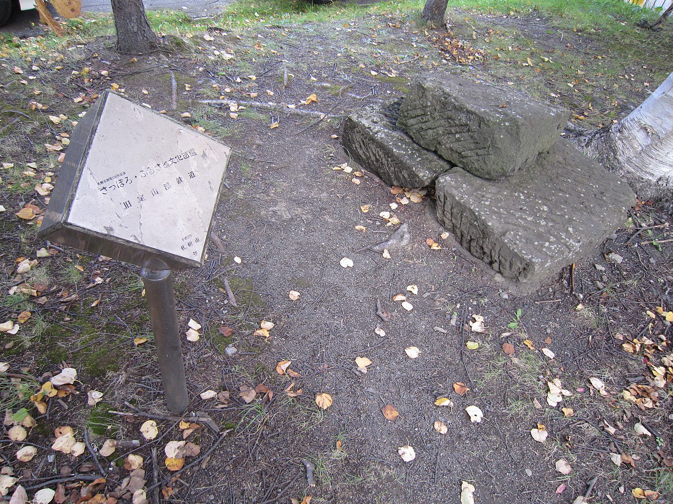
historical monument of the railway in Misumai area

Point of interest after 9.6 km
Misumai local museum with information about the Jozankei railway and Koganji road

Point of interest after 10.2 km
The location of Misumai Station 1918 - 1969

Point of interest after 12.5 km
The location of Toyotaki station 1948 - 1969 The nearby power utility station has some information about the area

Point of interest after 13.8 km
The location of Takinosawa station 1924 - 1969

Point of interest after 14.9 km
The location of Koganeyu stop for Koganeyu Onsen 1936 - 1969. Also, very close to the Sapporo Ainu Culture Promotion Center
Point of interest after 14.9 km
The Sapporo Ainu Culture Promotion Center

Point of interest after 15.9 km
the location of Ichinosawa station 1924 - 1969

Point of interest after 19.5 km
Shiraito no Taki (Shiraito Falls) Stop 1933 - 1969

Point of interest after 20.2 km
The location of Jozankei station terminal 1918 - 1969
Continue with Bikemap
Use, edit, or download this cycling route
You would like to ride Jozankei railway from Makomanai station to Jozankei or customize it for your own trip? Here is what you can do with this Bikemap route:
Free features
- Save this route as favorite or in collections
- Copy & plan your own version of this route
- Sync your route with Garmin or Wahoo
Premium features
Free trial for 3 days, or one-time payment. More about Bikemap Premium.
- Navigate this route on iOS & Android
- Export a GPX / KML file of this route
- Create your custom printout (try it for free)
- Download this route for offline navigation
Discover more Premium features.
Get Bikemap PremiumFrom our community
Other popular routes starting in Sapporo
 7丁目 2, 札幌市 まで7丁目 2, 札幌市
- Distance
- 20.8 km
- Ascent
- 92 m
- Descent
- 124 m
- Location
- Sapporo, Hokkaido, Japan
 3-chōme 1, Sapporo to 2-chōme 12, Otaru
- Distance
- 36.1 km
- Ascent
- 248 m
- Descent
- 220 m
- Location
- Sapporo, Hokkaido, Japan
 Hokkido trip
- Distance
- 529.9 km
- Ascent
- 2,618 m
- Descent
- 2,617 m
- Location
- Sapporo, Hokkaido, Japan
 Alt. route Sapporo - Lake Shikotsu
- Distance
- 51.3 km
- Ascent
- 861 m
- Descent
- 632 m
- Location
- Sapporo, Hokkaido, Japan
 ripple
- Distance
- 86.7 km
- Ascent
- 240 m
- Descent
- 246 m
- Location
- Sapporo, Hokkaido, Japan
 Sapporo to Abashiri
- Distance
- 696.2 km
- Ascent
- 1,066 m
- Descent
- 1,091 m
- Location
- Sapporo, Hokkaido, Japan
 Around Hokkaido 1
- Distance
- 1,327.2 km
- Ascent
- 2,592 m
- Descent
- 2,619 m
- Location
- Sapporo, Hokkaido, Japan
 札幌市立大ライド
- Distance
- 37.1 km
- Ascent
- 413 m
- Descent
- 416 m
- Location
- Sapporo, Hokkaido, Japan
Open it in the app


