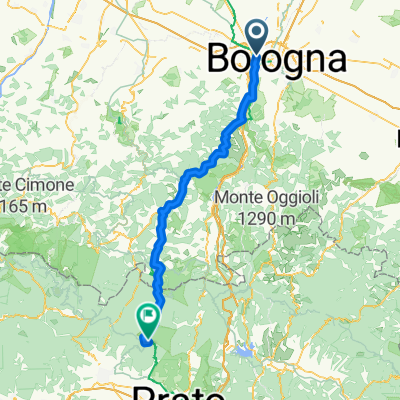
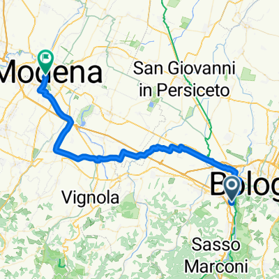
BO-Montelungo-Brento-Sasso Marconi-BO
- 61.6 km
- 876 m
- 876 m
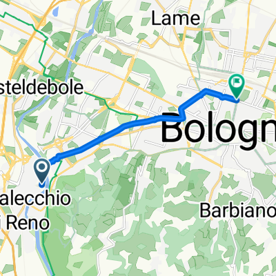
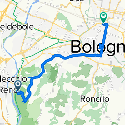
- Casalecchio di Reno, Emilia-Romagna, Italy
A cycling route starting in Casalecchio di Reno, Emilia-Romagna, Italy.
Overview
created this 1 year ago
Route quality
Quiet road
133.9 km
(25 %)
Road
112.5 km
(21 %)
Paved
326.8 km
(61 %)
Unpaved
80.4 km
(15 %)
Asphalt
310.7 km
(58 %)
Gravel
32.1 km
(6 %)
Continue with Bikemap
You would like to ride Toscana or customize it for your own trip? Here is what you can do with this Bikemap route:
Free trial for 3 days, or one-time payment. More about Bikemap Premium.
Discover more Premium features.
Get Bikemap PremiumFrom our community
Open it in the app