

GA Pinhoti Trail
A cycling route starting in Ellijay, Georgia, United States.OverviewAbout this route
- -:--
- Duration
- 217.6 km
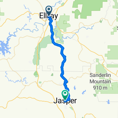
- Distance
- 1,900 m
- Ascent
- 1,982 m
- Descent
- ---
- Avg. speed
- ---
- Max. altitude
cavscoutcreated this 14 years ago
Free features
- Save this route as favorite or in collections
- Copy & plan your own version of this route
- Split it into stages to create a multi-day tour
- Sync your route with Garmin or Wahoo
Premium features
Free trial for 3 days, or one-time payment. More about Bikemap Premium.
- Navigate this route on iOS & Android
- Export a GPX / KML file of this route
- Create your custom printout (try it for free)
- Download this route for offline navigation
Discover more Premium features.
Get Bikemap Premium- Big frog
- 59.9 km
- 1,058 m
- 1,363 m
- Ellijay, Georgia, United States
- JASPER TO CHATSWORTH VIA HWY 52
- 77.2 km
- 1,036 m
- 1,033 m
- Ellijay, Georgia, United States
- From Ellijay to Jasper
- 33.2 km
- 699 m
- 643 m
- Ellijay, Georgia, United States
- burnt mountain
- 64.3 km
- 816 m
- 816 m
- Ellijay, Georgia, United States
- Sporty route
- 48.9 km
- 641 m
- 437 m
- Ellijay, Georgia, United States
- 197 N Main St, Ellijay to 9131 SR-52, Ellijay
- 15.9 km
- 311 m
- 180 m
- Ellijay, Georgia, United States
- Restful route in Chatsworth
- 6.5 km
- 398 m
- 397 m
- Ellijay, Georgia, United States


Open it in the app