
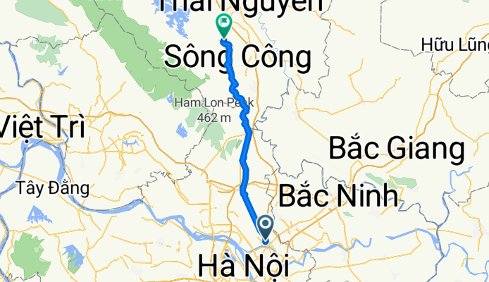
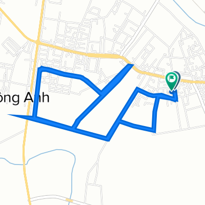
HaNoi-ThaiNguyen
A cycling route starting in Đông Anh, Thành Phố Hà Nội, Vietnam.
Overview
About this route
Tranh quoc lo 3.
Doc theo song Cong len Thai Nguyen
- -:--
- Duration
- 39.6 km
- Distance
- 52 m
- Ascent
- 39 m
- Descent
- ---
- Avg. speed
- ---
- Avg. speed

Continue with Bikemap
Use, edit, or download this cycling route
You would like to ride HaNoi-ThaiNguyen or customize it for your own trip? Here is what you can do with this Bikemap route:
Free features
- Save this route as favorite or in collections
- Copy & plan your own version of this route
- Sync your route with Garmin or Wahoo
Premium features
Free trial for 3 days, or one-time payment. More about Bikemap Premium.
- Navigate this route on iOS & Android
- Export a GPX / KML file of this route
- Create your custom printout (try it for free)
- Download this route for offline navigation
Discover more Premium features.
Get Bikemap PremiumFrom our community
Other popular routes starting in Đông Anh
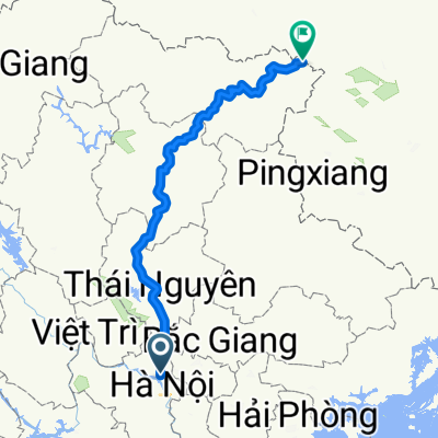
 Dong Anh à Bak Kan
- Distance
- 140.3 km
- Ascent
- 381 m
- Descent
- 232 m
- Location
- Đông Anh, Thành Phố Hà Nội, Vietnam
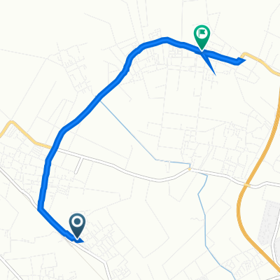
 Cao Lỗ 176 to 4VP5+J78
- Distance
- 21.4 km
- Ascent
- 42 m
- Descent
- 41 m
- Location
- Đông Anh, Thành Phố Hà Nội, Vietnam
 hanoi-taki
- Distance
- 341.7 km
- Ascent
- 1,863 m
- Descent
- 1,461 m
- Location
- Đông Anh, Thành Phố Hà Nội, Vietnam
 Phúc Lộc 56 to Lâm Tiên Ngõ 114
- Distance
- 8.2 km
- Ascent
- 31 m
- Descent
- 4 m
- Location
- Đông Anh, Thành Phố Hà Nội, Vietnam
 mua xe
- Distance
- 18.2 km
- Ascent
- 93 m
- Descent
- 93 m
- Location
- Đông Anh, Thành Phố Hà Nội, Vietnam
 Cao Lỗ 176 to Cao Lỗ 176
- Distance
- 12.5 km
- Ascent
- 40 m
- Descent
- 38 m
- Location
- Đông Anh, Thành Phố Hà Nội, Vietnam
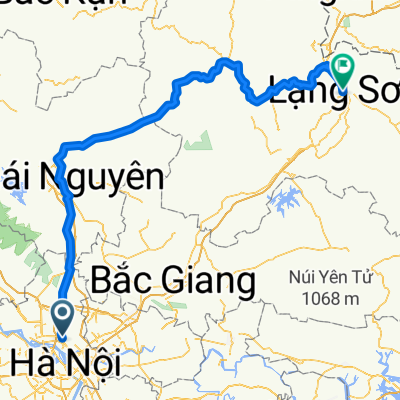 hanoi-langson
- Distance
- 215.3 km
- Ascent
- 840 m
- Descent
- 567 m
- Location
- Đông Anh, Thành Phố Hà Nội, Vietnam
 chill
chill- Distance
- 6.1 km
- Ascent
- 58 m
- Descent
- 60 m
- Location
- Đông Anh, Thành Phố Hà Nội, Vietnam
Open it in the app