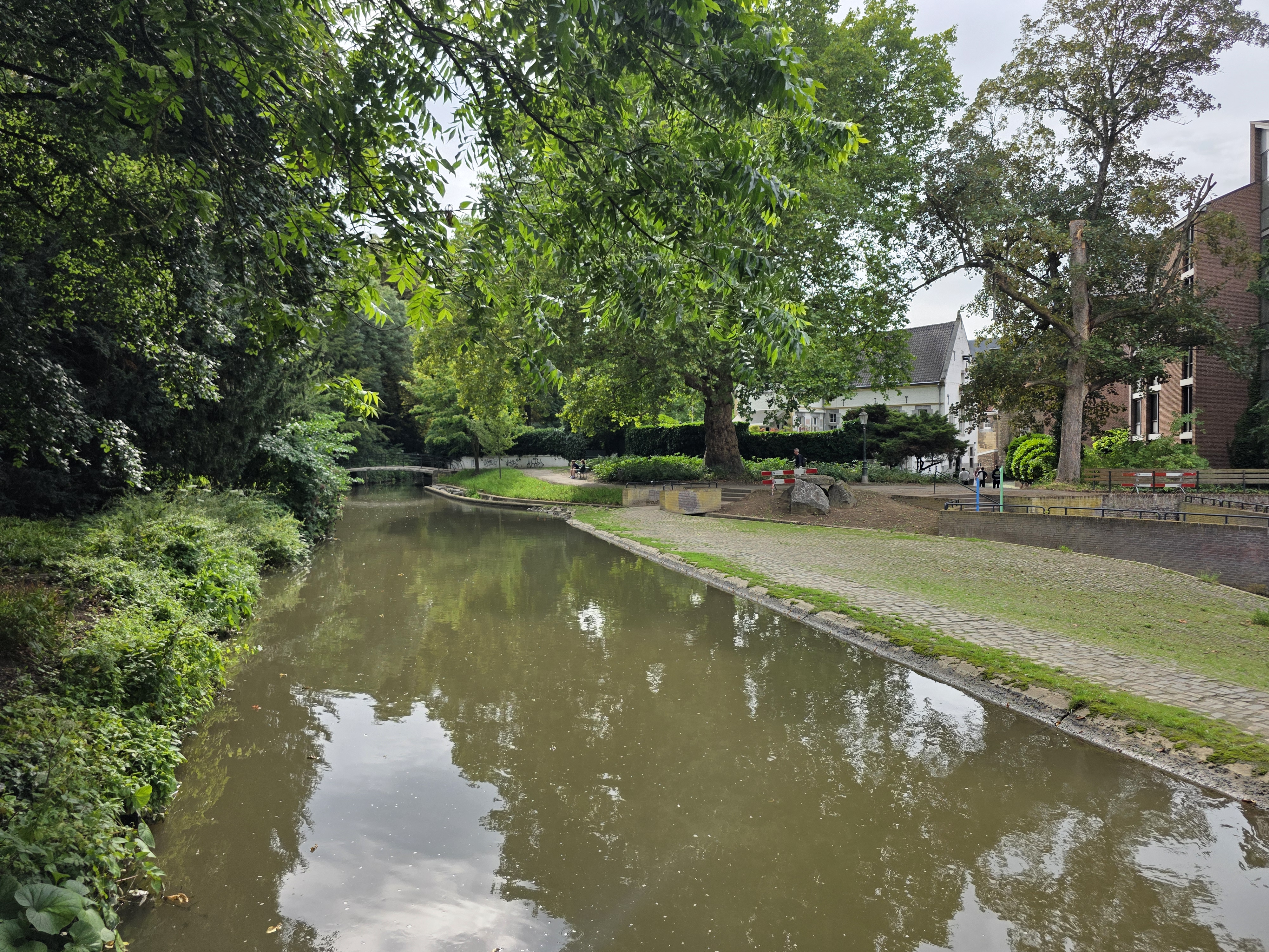
1. Aachen-Rurquelle-Monschau
A cycling route starting in Aachen, North Rhine-Westphalia, Germany.
Overview
About this route
Die starke Steigung zwischen Eupen und Mont Rigi beträgt auf 15 km 27 m/km. Das entspricht etwa 5 mal die Meisenburgstr. von Kettwig bis zum Roadstop hochzufahren; also wohl machbar :-)
- 4 h
- Duration
- 57.7 km
- Distance
- 950 m
- Ascent
- 722 m
- Descent
- 14.4 km/h
- Avg. speed
- 694 m
- Max. altitude
Route quality
Waytypes & surfaces along the route
Waytypes
Track
16.5 km
(29 %)
Quiet road
15.8 km
(27 %)
Surfaces
Paved
41.6 km
(72 %)
Unpaved
5.2 km
(9 %)
Asphalt
39.1 km
(68 %)
Loose gravel
4 km
(7 %)
Continue with Bikemap
Use, edit, or download this cycling route
You would like to ride 1. Aachen-Rurquelle-Monschau or customize it for your own trip? Here is what you can do with this Bikemap route:
Free features
- Save this route as favorite or in collections
- Copy & plan your own version of this route
- Sync your route with Garmin or Wahoo
Premium features
Free trial for 3 days, or one-time payment. More about Bikemap Premium.
- Navigate this route on iOS & Android
- Export a GPX / KML file of this route
- Create your custom printout (try it for free)
- Download this route for offline navigation
Discover more Premium features.
Get Bikemap PremiumFrom our community
Other popular routes starting in Aachen
- Vennbahn Bike Path
- Distance
- 127.6 km
- Ascent
- 1,253 m
- Descent
- 1,014 m
- Location
- Aachen, North Rhine-Westphalia, Germany
- nice MTB route
- Distance
- 21.7 km
- Ascent
- 442 m
- Descent
- 450 m
- Location
- Aachen, North Rhine-Westphalia, Germany
- Köpfchen-Lichtenbusch-Vennbahn
- Distance
- 26.9 km
- Ascent
- 193 m
- Descent
- 174 m
- Location
- Aachen, North Rhine-Westphalia, Germany
- TJs extreme :)
- Distance
- 50.6 km
- Ascent
- 615 m
- Descent
- 612 m
- Location
- Aachen, North Rhine-Westphalia, Germany
- Vaals - Op jacht in het Preuswald
- Distance
- 23.6 km
- Ascent
- 424 m
- Descent
- 425 m
- Location
- Aachen, North Rhine-Westphalia, Germany
- Aachen-Maastricht-Aachen
- Distance
- 89.7 km
- Ascent
- 702 m
- Descent
- 702 m
- Location
- Aachen, North Rhine-Westphalia, Germany
- Durch den Aachener Stadtwald
- Distance
- 26.7 km
- Ascent
- 320 m
- Descent
- 320 m
- Location
- Aachen, North Rhine-Westphalia, Germany
- aachen-zittau
- Distance
- 1,039.3 km
- Ascent
- 7,225 m
- Descent
- 7,135 m
- Location
- Aachen, North Rhine-Westphalia, Germany
Open it in the app