

Frankfurts leichter, grüner Süden
A cycling route starting in Niederrad, Hesse, Germany.
Overview
About this route
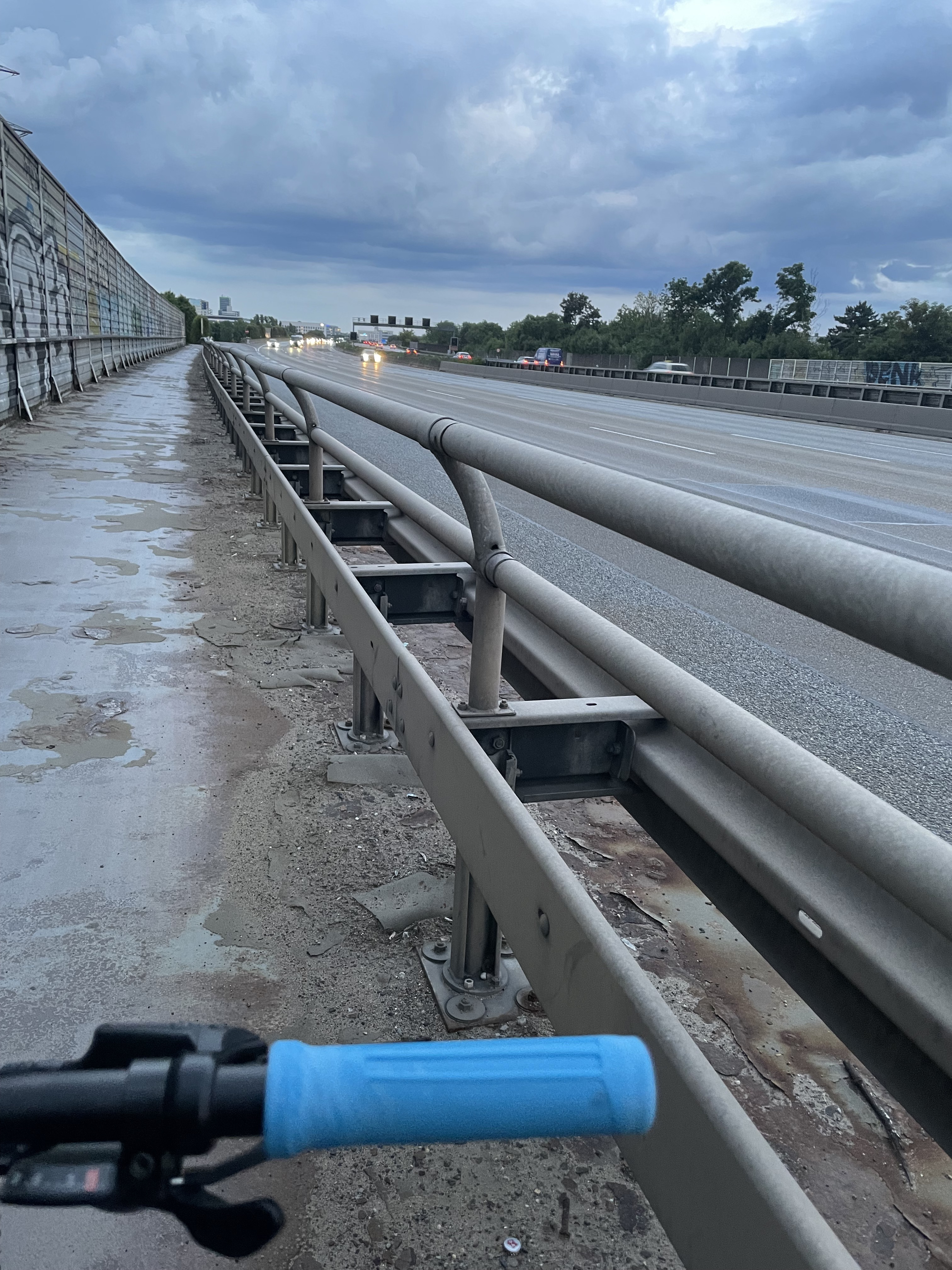
Start of the route (B44) fairly heavily trafficked, but in my view it's okay (I rode this route during the week, it will surely be quieter on the weekend). Mostly very wide, usable shoulder (~ 1m).
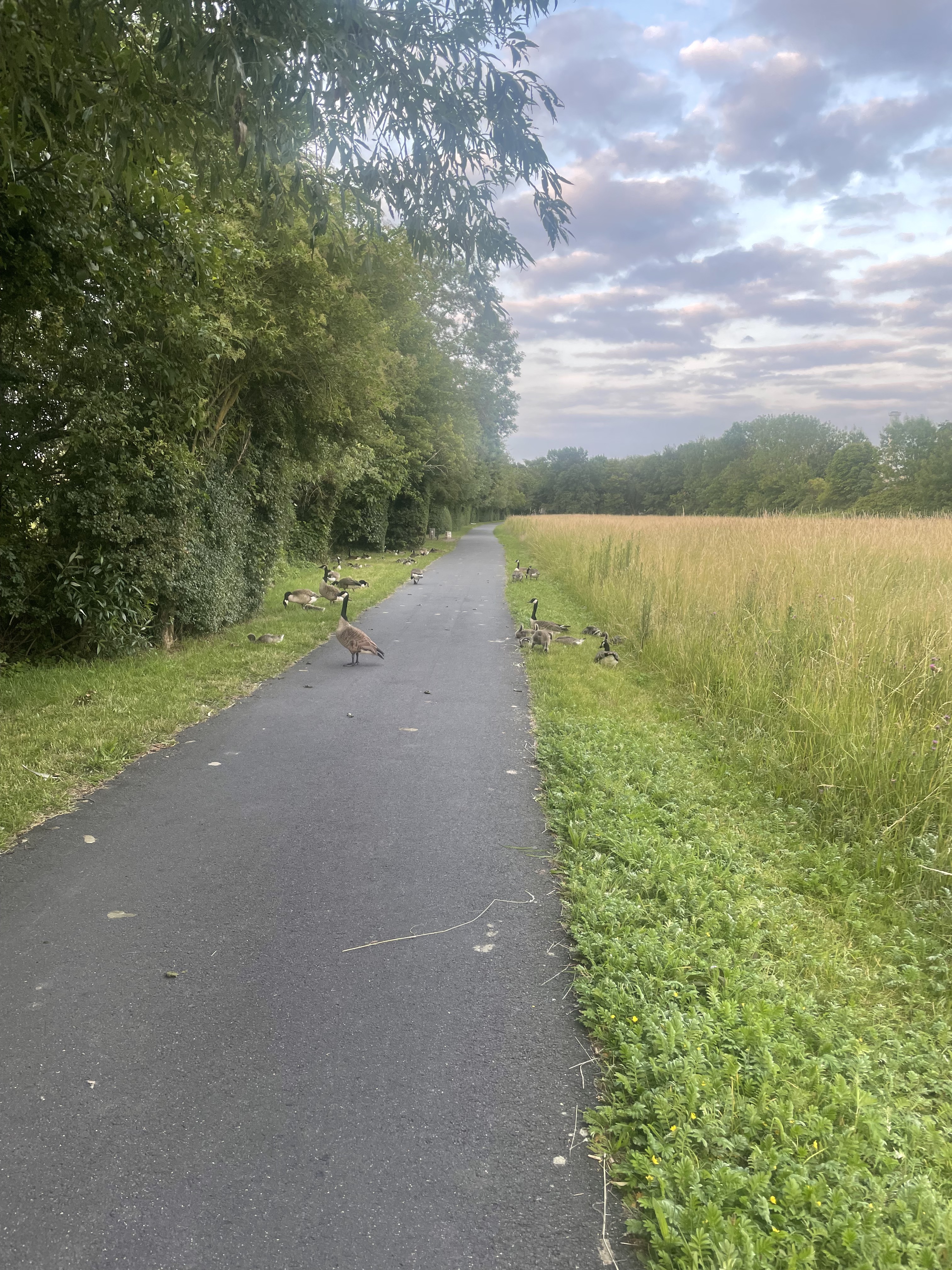
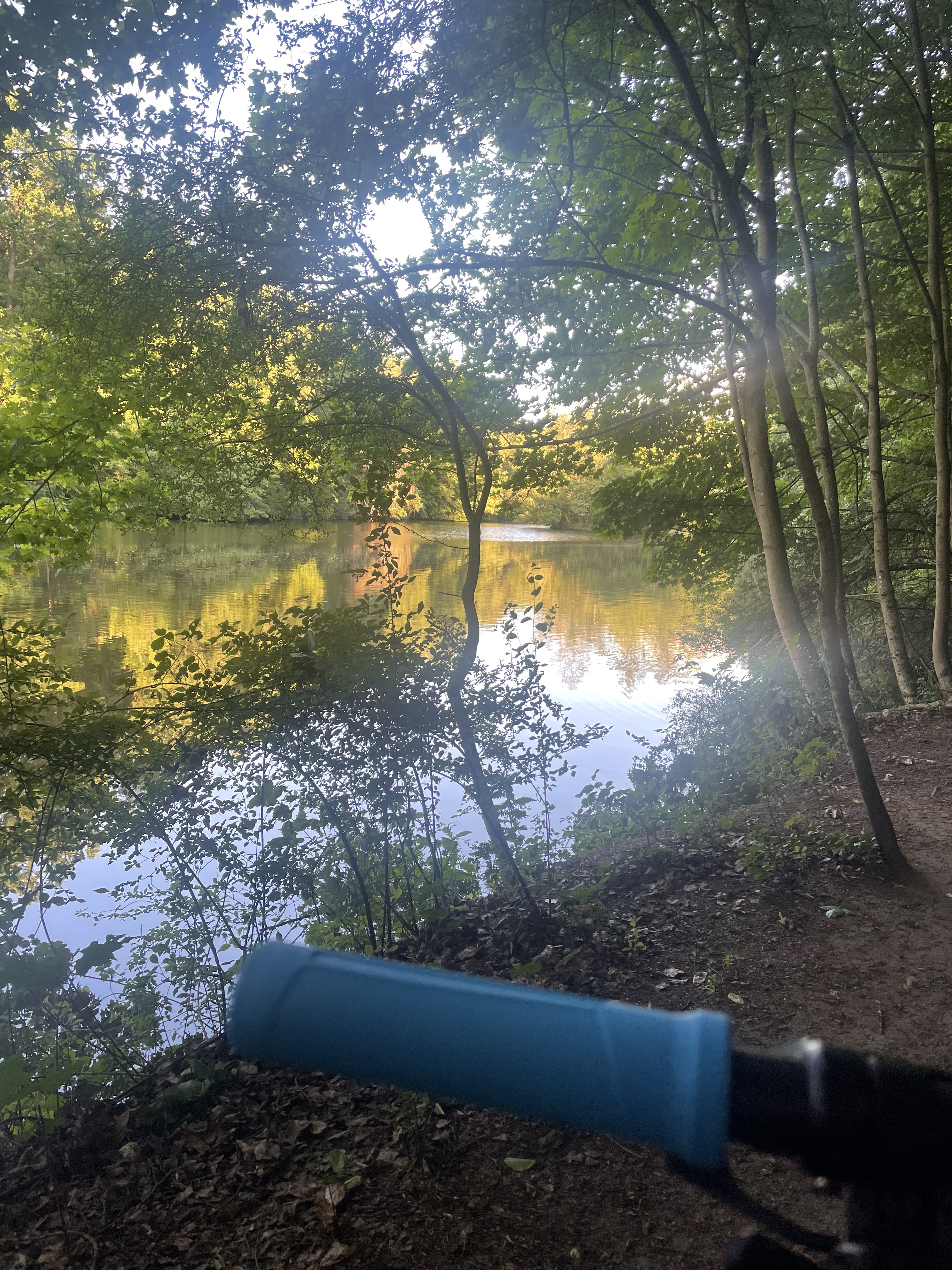
The roads mostly go through forest areas.
The route can also be well expanded towards Offenthal, Dietzenbach, Heusenstamm.
- -:--
- Duration
- 50.4 km
- Distance
- 116 m
- Ascent
- 92 m
- Descent
- ---
- Avg. speed
- 126 m
- Max. altitude

Route quality
Waytypes & surfaces along the route
Waytypes
Track
8.6 km
(17 %)
Path
8.1 km
(16 %)
Surfaces
Paved
37.3 km
(74 %)
Unpaved
8.6 km
(17 %)
Asphalt
36.8 km
(73 %)
Gravel
6.1 km
(12 %)
Continue with Bikemap
Use, edit, or download this cycling route
You would like to ride Frankfurts leichter, grüner Süden or customize it for your own trip? Here is what you can do with this Bikemap route:
Free features
- Save this route as favorite or in collections
- Copy & plan your own version of this route
- Sync your route with Garmin or Wahoo
Premium features
Free trial for 3 days, or one-time payment. More about Bikemap Premium.
- Navigate this route on iOS & Android
- Export a GPX / KML file of this route
- Create your custom printout (try it for free)
- Download this route for offline navigation
Discover more Premium features.
Get Bikemap PremiumFrom our community
Other popular routes starting in Niederrad
 Goldsteiner Wald
- Distance
- 28.9 km
- Ascent
- 79 m
- Descent
- 80 m
- Location
- Niederrad, Hesse, Germany
 Kleine Runde Richtung Wetterau
- Distance
- 52.7 km
- Ascent
- 318 m
- Descent
- 275 m
- Location
- Niederrad, Hesse, Germany
 Wildentenstraße, Frankfurt am Main nach Lyoner Straße, Frankfurt am Main
- Distance
- 10.7 km
- Ascent
- 670 m
- Descent
- 670 m
- Location
- Niederrad, Hesse, Germany
 Lyoner Straße, Frankfurt am Main nach Lyoner Straße, Frankfurt am Main
- Distance
- 20.9 km
- Ascent
- 907 m
- Descent
- 917 m
- Location
- Niederrad, Hesse, Germany
 Lyoner Straße, Frankfurt am Main nach Farmstraße, Mörfelden-Walldorf
- Distance
- 13.8 km
- Ascent
- 498 m
- Descent
- 497 m
- Location
- Niederrad, Hesse, Germany
 Lyoner Straße, Frankfurt am Main nach Kurt-Oeser-Weg, Mörfelden-Walldorf
- Distance
- 16.6 km
- Ascent
- 586 m
- Descent
- 597 m
- Location
- Niederrad, Hesse, Germany
 Feldberg
- Distance
- 29.9 km
- Ascent
- 675 m
- Descent
- 61 m
- Location
- Niederrad, Hesse, Germany
 Lyoner Straße, Frankfurt am Main nach Oberschweinstiegschneise, Frankfurt am Main
- Distance
- 9.4 km
- Ascent
- 563 m
- Descent
- 551 m
- Location
- Niederrad, Hesse, Germany
Open it in the app