Ross - Five Points - Lake Lagunitas - Eldridge Loop CLONED FROM ROUTE 51515
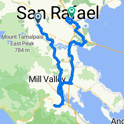
A cycling route starting in Ross, California, United States of America.
Overview
About this route
Start in Ross Common, follow paved Lagunitas Rd to trailhead in Natalie Coffin Greene Park. Follow signs for Five Points, then turn onto Shafer Grade, and left onto the lake access paved road. Follow paved road to Lake Lagunitas. Follow the short trail at left of parking area to earthen dam. Go right to make a loop of the lake, or go left if you want to move on with the climb and skip the lake loop. If you take the lake loop, when you get back to Lakeview fire road, turn left to back to start point, or turn right to continue the climb. Continuing the climb ... Lakeview fire road will merge meet Eldridge Grade road, turn left and make your way back to Phoenix Lake and Ross Common by staying to your right at two major forks in the roads (choose to keep going downhill).<br />
- -:--
- Duration
- 15.8 km
- Distance
- 467 m
- Ascent
- 464 m
- Descent
- ---
- Avg. speed
- ---
- Avg. speed
Route quality
Waytypes & surfaces along the route
Waytypes
Undefined
15.8 km
(100 %)
Surfaces
Undefined
15.8 km
(100 %)
Continue with Bikemap
Use, edit, or download this cycling route
You would like to ride Ross - Five Points - Lake Lagunitas - Eldridge Loop CLONED FROM ROUTE 51515 or customize it for your own trip? Here is what you can do with this Bikemap route:
Free features
- Save this route as favorite or in collections
- Copy & plan your own version of this route
- Sync your route with Garmin or Wahoo
Premium features
Free trial for 3 days, or one-time payment. More about Bikemap Premium.
- Navigate this route on iOS & Android
- Export a GPX / KML file of this route
- Create your custom printout (try it for free)
- Download this route for offline navigation
Discover more Premium features.
Get Bikemap PremiumFrom our community
Other popular routes starting in Ross
- Test 2
- Distance
- 6.4 km
- Ascent
- 50 m
- Descent
- 100 m
- Location
- Ross, California, United States of America
- Greatest Hits
- Distance
- 24.9 km
- Ascent
- 558 m
- Descent
- 556 m
- Location
- Ross, California, United States of America
- 26 El Camino Bueno, Ross to E Sir Francis Drake Blvd, Larkspur
- Distance
- 6.4 km
- Ascent
- 50 m
- Descent
- 110 m
- Location
- Ross, California, United States of America
- Greatest Hits with Rocky Ridge
- Distance
- 26.5 km
- Ascent
- 692 m
- Descent
- 689 m
- Location
- Ross, California, United States of America
- Ross Common 1 to Ross Common 26
- Distance
- 22.2 km
- Ascent
- 440 m
- Descent
- 440 m
- Location
- Ross, California, United States of America
- 26 El Camino Bueno, Ross to 935 Sir Francis Drake Blvd, Kentfield
- Distance
- 2.2 km
- Ascent
- 0 m
- Descent
- 50 m
- Location
- Ross, California, United States of America
- 210 Dibblee Rd, Ross to 305 San Anselmo Ave, San Anselmo
- Distance
- 2.1 km
- Ascent
- 27 m
- Descent
- 39 m
- Location
- Ross, California, United States of America
- route 15
- Distance
- 5.5 km
- Ascent
- 29 m
- Descent
- 21 m
- Location
- Ross, California, United States of America