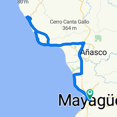
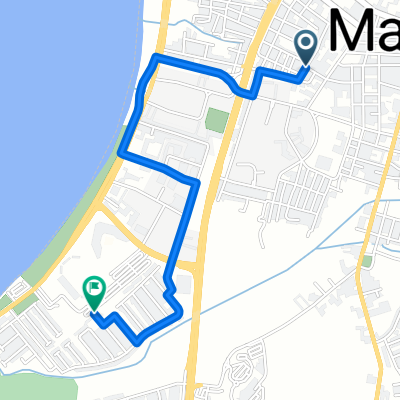
mayaguez a playa santa
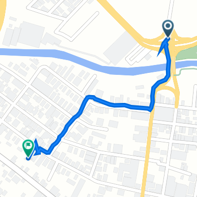
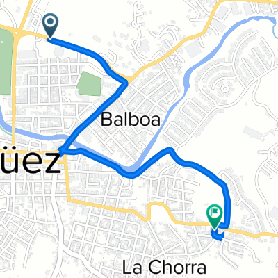
A cycling route starting in Mayagüez, Mayagüez, Puerto Rico.
Overview
About this route
The more information you write here, the more you will help other users with the route* Route itinerary.* What makes it special?* Why do you recommend it?* What are its characteristics?* Etc.
- -:--
- Duration
- 119.3 km
- Distance
- 377 m
- Ascent
- 379 m
- Descent
- ---
- Avg. speed
- ---
- Max. altitude
Route quality
Waytypes & surfaces along the route
Waytypes
Road
62 km
(52 %)
Quiet road
13.1 km
(11 %)
Surfaces
Paved
47.7 km
(40 %)
Unpaved
6 km
(5 %)
Asphalt
47.7 km
(40 %)
Ground
6 km
(5 %)
Undefined
65.6 km
(55 %)
Continue with Bikemap
Use, edit, or download this cycling route
You would like to ride mayaguez a playa santa or customize it for your own trip? Here is what you can do with this Bikemap route:
Free features
- Save this route as favorite or in collections
- Copy & plan your own version of this route
- Split it into stages to create a multi-day tour
- Sync your route with Garmin or Wahoo
Premium features
Free trial for 3 days, or one-time payment. More about Bikemap Premium.
- Navigate this route on iOS & Android
- Export a GPX / KML file of this route
- Create your custom printout (try it for free)
- Download this route for offline navigation
Discover more Premium features.
Get Bikemap PremiumFrom our community
Other popular routes starting in Mayagüez
- De 596–598 Avenida Gonzalez Clemente, Mayagüez a 596–598 Avenida Gonzalez Clemente, Mayagüez
- Distance
- 10.6 km
- Ascent
- 164 m
- Descent
- 164 m
- Location
- Mayagüez, Mayagüez, Puerto Rico
- ruta mayaguez - rincon-mayaguez
- Distance
- 55.8 km
- Ascent
- 125 m
- Descent
- 126 m
- Location
- Mayagüez, Mayagüez, Puerto Rico
- mayaguez a playa santa
- Distance
- 119.3 km
- Ascent
- 377 m
- Descent
- 379 m
- Location
- Mayagüez, Mayagüez, Puerto Rico
- mayaguez-san german-cabo rojo-mayaguez
- Distance
- 40.9 km
- Ascent
- 98 m
- Descent
- 98 m
- Location
- Mayagüez, Mayagüez, Puerto Rico
- ruta las mesas..mayaguez
- Distance
- 38.5 km
- Ascent
- 492 m
- Descent
- 490 m
- Location
- Mayagüez, Mayagüez, Puerto Rico
- ruta miredor
- Distance
- 39.2 km
- Ascent
- 100 m
- Descent
- 104 m
- Location
- Mayagüez, Mayagüez, Puerto Rico
- Calle Miguel A. Santín 87, Mayagüez to Calle Cristobal Colon 57, Yabucoa
- Distance
- 258.5 km
- Ascent
- 16,144 m
- Descent
- 16,116 m
- Location
- Mayagüez, Mayagüez, Puerto Rico
- puerto real,cabo rojo,san qerman,mayaguez
- Distance
- 53.6 km
- Ascent
- 142 m
- Descent
- 142 m
- Location
- Mayagüez, Mayagüez, Puerto Rico
Open it in the app