Ardèche 2012 - 04
- 79.4 km
- 1,029 m
- 1,520 m
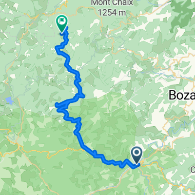
- Lamastre, Auvergne-Rhône-Alpes, France
A cycling route starting in Lamastre, Auvergne-Rhône-Alpes, France.
Overview
created this 13 years ago
Route quality
Quiet road
27 km
(34 %)
Road
24.6 km
(31 %)
Paved
17.5 km
(22 %)
Unpaved
3.2 km
(4 %)
Asphalt
17.5 km
(22 %)
Ground
3.2 km
(4 %)
Undefined
58.7 km
(74 %)
Route highlights
<b>Col des Fans</b> <br />FR-07-0758
<b>Col de la Rouveure</b> <br />FR-07-0626
<b>Col de Serre</b> <br />FR-07-0601
<b>Col de Meyres</b> <br />FR-07-0595
<b>Col de Leyrisse</b> <br />FR-07-0586
<b>Col de Ponsoye</b> <br />FR-07-0604B
<b>Le Tracol</b> <br />FR-07-0400
<b>Col de Gazareau</b> <br />FR-07-0751
<b>Col de Nesson</b> <br />FR-07-0340a
Continue with Bikemap
You would like to ride Ardèche 2012 - 04 or customize it for your own trip? Here is what you can do with this Bikemap route:
Free trial for 3 days, or one-time payment. More about Bikemap Premium.
Discover more Premium features.
Get Bikemap PremiumFrom our community
Open it in the app