Soneja-Almedijar-Collado de la Ibola-Villamalur-Collado Jinquer-Matet-Segorbe-Soneja
A cycling route starting in Soneja, Valencia, Spain.
Overview
About this route
Primer contacto con la Sierra Espadan
- -:--
- Duration
- 78.2 km
- Distance
- 1,294 m
- Ascent
- 1,280 m
- Descent
- ---
- Avg. speed
- ---
- Avg. speed
Route quality
Waytypes & surfaces along the route
Waytypes
Busy road
37.3 km
(48 %)
Road
21.2 km
(27 %)
Surfaces
Paved
15.7 km
(20 %)
Unpaved
0.5 km
(<1 %)
Asphalt
12.8 km
(16 %)
Paved (undefined)
2.9 km
(4 %)
Route highlights
Points of interest along the route
Point of interest after 14.8 km
Puerto de Almedíjar
Point of interest after 36.6 km
Collado Ayodar
Point of interest after 39.7 km
Collado dels Carscalls
Point of interest after 50.8 km
Collado del Jinquer
Continue with Bikemap
Use, edit, or download this cycling route
You would like to ride Soneja-Almedijar-Collado de la Ibola-Villamalur-Collado Jinquer-Matet-Segorbe-Soneja or customize it for your own trip? Here is what you can do with this Bikemap route:
Free features
- Save this route as favorite or in collections
- Copy & plan your own version of this route
- Sync your route with Garmin or Wahoo
Premium features
Free trial for 3 days, or one-time payment. More about Bikemap Premium.
- Navigate this route on iOS & Android
- Export a GPX / KML file of this route
- Create your custom printout (try it for free)
- Download this route for offline navigation
Discover more Premium features.
Get Bikemap PremiumFrom our community
Other popular routes starting in Soneja
- Soneja-Altura-Sacañet-LaBellida-Torás-Jérica-Soneja
- Distance
- 93.8 km
- Ascent
- 1,260 m
- Descent
- 1,257 m
- Location
- Soneja, Valencia, Spain
- 3 dias
- Distance
- 232.4 km
- Ascent
- 2,205 m
- Descent
- 2,207 m
- Location
- Soneja, Valencia, Spain
- espadan desde soneja
- Distance
- 103.9 km
- Ascent
- 1,873 m
- Descent
- 1,870 m
- Location
- Soneja, Valencia, Spain
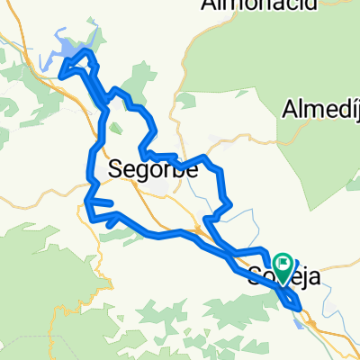
- Soneja-Navajas-Matet-Alto de Villamalur-Algímia d'Almonacid
- Distance
- 57.1 km
- Ascent
- 688 m
- Descent
- 688 m
- Location
- Soneja, Valencia, Spain
- Ruta 20: Soneja - Algimia - Serra
- Distance
- 43.2 km
- Ascent
- 900 m
- Descent
- 833 m
- Location
- Soneja, Valencia, Spain
- Soneja-Chovar-Eslida-Ain-Collado de La Ibola-Almedijar-Soneja
- Distance
- 49.8 km
- Ascent
- 943 m
- Descent
- 939 m
- Location
- Soneja, Valencia, Spain
- Soneja - Altura - Regajo - Navajas - Salto de La Novia
- Distance
- 42.1 km
- Ascent
- 392 m
- Descent
- 391 m
- Location
- Soneja, Valencia, Spain
- Soneja-Almedijar-Collado de la Ibola-Villamalur-Collado Jinquer-Matet-Segorbe-Soneja
- Distance
- 78.2 km
- Ascent
- 1,294 m
- Descent
- 1,280 m
- Location
- Soneja, Valencia, Spain
Open it in the app