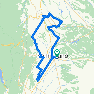
中富良野潼關岩見沢
- 98.9 km
- 216 m
- 374 m
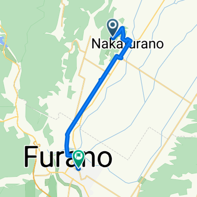
- Shimo-furano, Hokkaido, Japan
A cycling route starting in Shimo-furano, Hokkaido, Japan.
Overview
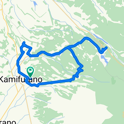
<span style="color: #333333; font-family: verdana, geneva, lucida, 'lucida grande', arial, helvetica, sans-serif; font-size: 15px; line-height: 27px; background-color: #f6f6f6;">金山湖かなやま湖 ログホテルラーチ</span><br style="color: #333333; font-family: verdana, geneva, lucida, 'lucida grande', arial, helvetica, sans-serif; font-size: 15px; line-height: 27px; background-color: #f6f6f6;" /><span style="color: #333333; font-family: verdana, geneva, lucida, 'lucida grande', arial, helvetica, sans-serif; font-size: 15px; line-height: 27px; background-color: #f6f6f6;">Lake Kanayama Log Hotel Larch</span><br style="color: #333333; font-family: verdana, geneva, lucida, 'lucida grande', arial, helvetica, sans-serif; font-size: 15px; line-height: 27px; background-color: #f6f6f6;" /><br style="color: #333333; font-family: verdana, geneva, lucida, 'lucida grande', arial, helvetica, sans-serif; font-size: 15px; line-height: 27px; background-color: #f6f6f6;" /><span style="color: #333333; font-family: verdana, geneva, lucida, 'lucida grande', arial, helvetica, sans-serif; font-size: 15px; line-height: 27px; background-color: #f6f6f6;">〒079-2411 北海道空知郡南富良野町東鹿越</span><br style="color: #333333; font-family: verdana, geneva, lucida, 'lucida grande', arial, helvetica, sans-serif; font-size: 15px; line-height: 27px; background-color: #f6f6f6;" /><span style="color: #333333; font-family: verdana, geneva, lucida, 'lucida grande', arial, helvetica, sans-serif; font-size: 15px; line-height: 27px; background-color: #f6f6f6;">電話0167-52-3100 FAX0167-52-3180</span>
created this 13 years ago
Continue with Bikemap
You would like to ride 6.27(週三) 富良野 ----東鹿岳 金山 湖 or customize it for your own trip? Here is what you can do with this Bikemap route:
Free trial for 3 days, or one-time payment. More about Bikemap Premium.
Discover more Premium features.
Get Bikemap PremiumFrom our community
Open it in the app