


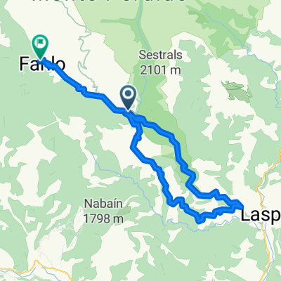
Añisclo
- 38 km
- 1,028 m
- 707 m
- Puértolas, Aragon, Spain
A cycling route starting in Puértolas, Aragon, Spain.
Overview
A 12 km nearly uninterrupted trail descent and the natural and scenic richness present along the route are two good reasons why this route appears on this list. An ascent via track, road, and some walking leads to a technically challenging descent, especially in the first part, which at times transports us through an almost jungle-like environment to Hospital de Tella following a trail that seems never-ending.From Hospital de Tella, we descend a couple of kilometers on the main road to Mesón de Puertolas, where we take a track connecting to the road to Puertolas. The track crosses a couple of fields and is somewhat confusing; you must always take the most obvious path. We climb by road to Puertolas and continue towards Bestué. After passing the turnoff to Escuaín, a track starts on the right indicating Montaña de Sensa, which we must take. We ascend this well-maintained track until finding the GR turnoff to Escuaín, and from this point to Cuello Ratón, we have to walk on foot for about 15 minutes. The views from this pass, guarded by the northern cliffs of Castillo Mayor, are excellent, opening before us the untamed valley of the Yaga River with the Cirques of Gurrundue and La Sarra guarding its source. The trail begins by flanking right to bypass the head of the Lugar ravine and then plunges downhill in search of the village of Escuaín. This section is complicated because it is usually slippery and rocky and is impassable when wet. In Escuaín, it is recommended to do a small loop of viewpoints over the gorge of the Yaga River, which can also be done by bike. We leave the village via the road, and after about a kilometer, the GR leaves the asphalt and enters the forest on the left, starting a fast descent connecting curves on a medium-width trail. Be cautious here, as you may encounter hikers or canyoners since it is a fairly busy route in summer. Gradually, the trail eases its slope but keeps the fun until arriving at Estaroniello, on the other side of a footbridge crossing the river, which we will not cross (unless we want to visit the village) because we follow the PR marks to the right leading us back to Hospital de Tella. We walk ten minutes, and then the trail becomes almost entirely rideable. This section features many alternating uphill and downhill segments over the remaining 6.5 km, ensuring we finish the route well satisfied.
Route Data: Physical Level:4/5 Technical Level: 4/5 Natural Environment:5/5 Exposure:4/5 Distance: 29 km. Total Elevation Gain: 1220 m. Elevation on Foot: 190 m. Maximum Altitude: 1688 m. Duration: 4h. - 5h. Season: April - October.
created this 13 years ago
Continue with Bikemap
You would like to ride Cuello Ratón - Tira de Biés or customize it for your own trip? Here is what you can do with this Bikemap route:
Free trial for 3 days, or one-time payment. More about Bikemap Premium.
Discover more Premium features.
Get Bikemap PremiumFrom our community
Open it in the app


