

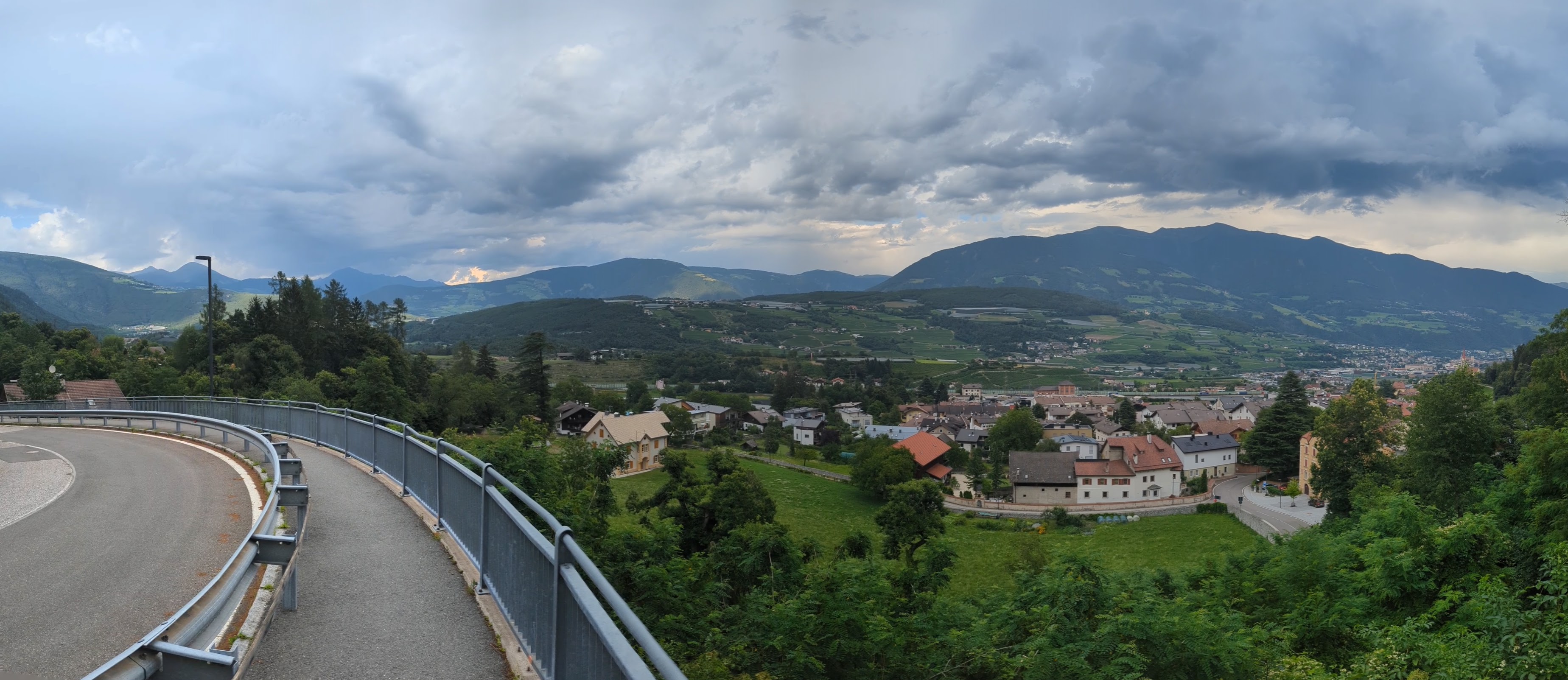
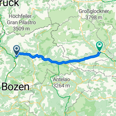
Mühlbach - Niederdorf/Toblach
A cycling route starting in Mühlbach, Trentino-Alto Adige, Italy.
Overview
About this route
- 4 h 17 min
- Duration
- 56.7 km
- Distance
- 1,446 m
- Ascent
- 967 m
- Descent
- 13.2 km/h
- Avg. speed
- 1,245 m
- Max. altitude

Route quality
Waytypes & surfaces along the route
Waytypes
Access road
13.6 km
(24 %)
Quiet road
13 km
(23 %)
Surfaces
Paved
46.5 km
(82 %)
Unpaved
8.5 km
(15 %)
Asphalt
45.3 km
(80 %)
Loose gravel
4.5 km
(8 %)
Continue with Bikemap
Use, edit, or download this cycling route
You would like to ride Mühlbach - Niederdorf/Toblach or customize it for your own trip? Here is what you can do with this Bikemap route:
Free features
- Save this route as favorite or in collections
- Copy & plan your own version of this route
- Sync your route with Garmin or Wahoo
Premium features
Free trial for 3 days, or one-time payment. More about Bikemap Premium.
- Navigate this route on iOS & Android
- Export a GPX / KML file of this route
- Create your custom printout (try it for free)
- Download this route for offline navigation
Discover more Premium features.
Get Bikemap PremiumFrom our community
Other popular routes starting in Mühlbach
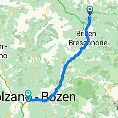 Mühlbach - Bozen
- Distance
- 54.1 km
- Ascent
- 766 m
- Descent
- 1,276 m
- Location
- Mühlbach, Trentino-Alto Adige, Italy
 Radwanderung zur Kronplatzseilbahn vom Graahof
- Distance
- 56.5 km
- Ascent
- 454 m
- Descent
- 453 m
- Location
- Mühlbach, Trentino-Alto Adige, Italy
 Stöcklvaterweg nach Via Scaleres
- Distance
- 15.7 km
- Ascent
- 350 m
- Descent
- 505 m
- Location
- Mühlbach, Trentino-Alto Adige, Italy
 Val Pusteria 7) Rio Pusteria- Rasun di Sopra
- Distance
- 40.7 km
- Ascent
- 1,018 m
- Descent
- 706 m
- Location
- Mühlbach, Trentino-Alto Adige, Italy
 Leitensteig. NICHT fürs MTB!!
- Distance
- 5.3 km
- Ascent
- 134 m
- Descent
- 232 m
- Location
- Mühlbach, Trentino-Alto Adige, Italy
 Spinges - Stoanamandl - Panoramaweg
- Distance
- 17 km
- Ascent
- 804 m
- Descent
- 799 m
- Location
- Mühlbach, Trentino-Alto Adige, Italy
 8 - da geit meh man
- Distance
- 104.5 km
- Ascent
- 1,837 m
- Descent
- 1,993 m
- Location
- Mühlbach, Trentino-Alto Adige, Italy
 Dolomiten Tag 1
- Distance
- 93.1 km
- Ascent
- 1,657 m
- Descent
- 867 m
- Location
- Mühlbach, Trentino-Alto Adige, Italy
Open it in the app