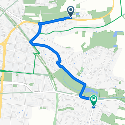
Neckarhalde, Heilbronn nach Marktplatz, Mosbach
- 36 km
- 452 m
- 452 m
- Heilbronn, Baden-Wurttemberg, Germany
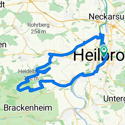
A cycling route starting in Heilbronn, Baden-Wurttemberg, Germany.
Overview
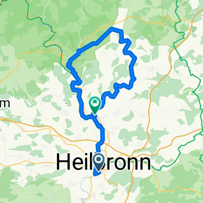
Short road cycling route HN-Leingarten-Schweigern-Brackenheim-Nordheim-HN
created this 16 years ago
Route quality
Road
9.8 km
(27 %)
Track
7.6 km
(21 %)
Paved
30.9 km
(85 %)
Unpaved
1.1 km
(3 %)
Asphalt
30.2 km
(83 %)
Paved (undefined)
0.7 km
(2 %)
Continue with Bikemap
You would like to ride Neipperger Runde or customize it for your own trip? Here is what you can do with this Bikemap route:
Free trial for 3 days, or one-time payment. More about Bikemap Premium.
Discover more Premium features.
Get Bikemap PremiumFrom our community
Open it in the app