

28. októbra do 28. októbra
A cycling route starting in Trenčín, Trenčín Region, Slovakia.
Overview
About this route
- 1 h 40 min
- Duration
- 18.6 km
- Distance
- 348 m
- Ascent
- 463 m
- Descent
- 11.2 km/h
- Avg. speed
- 365 m
- Max. altitude

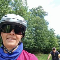
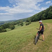
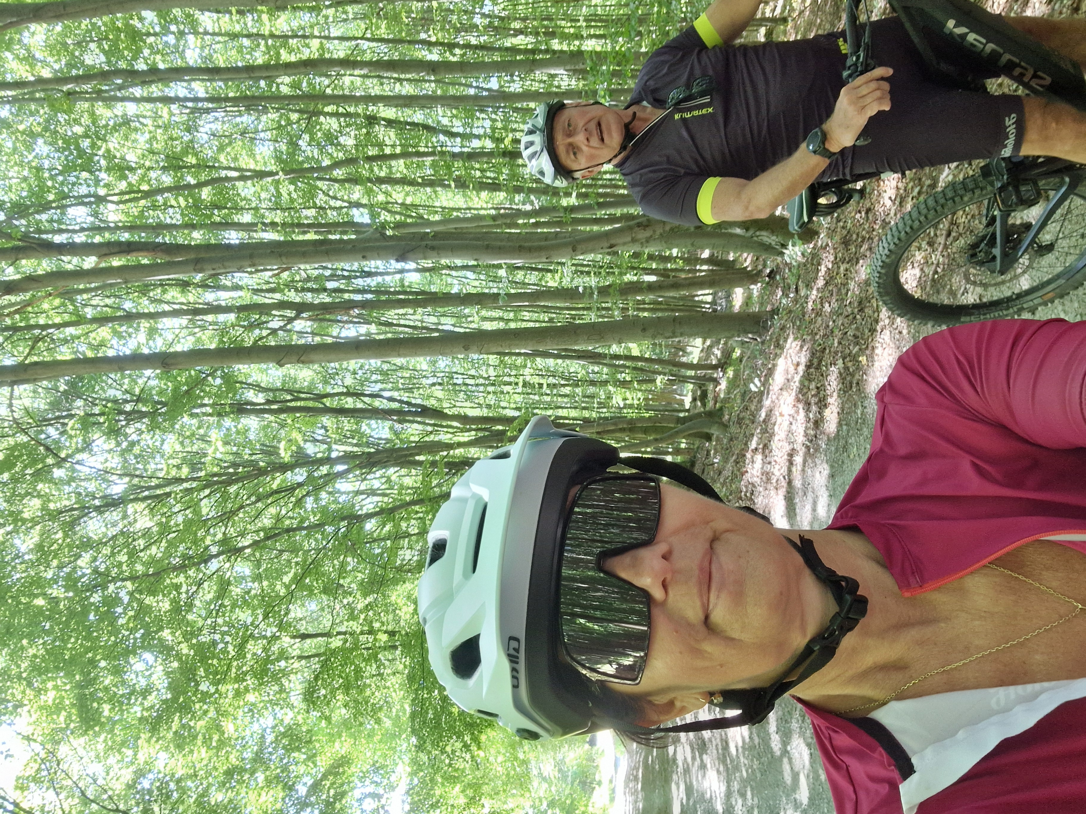
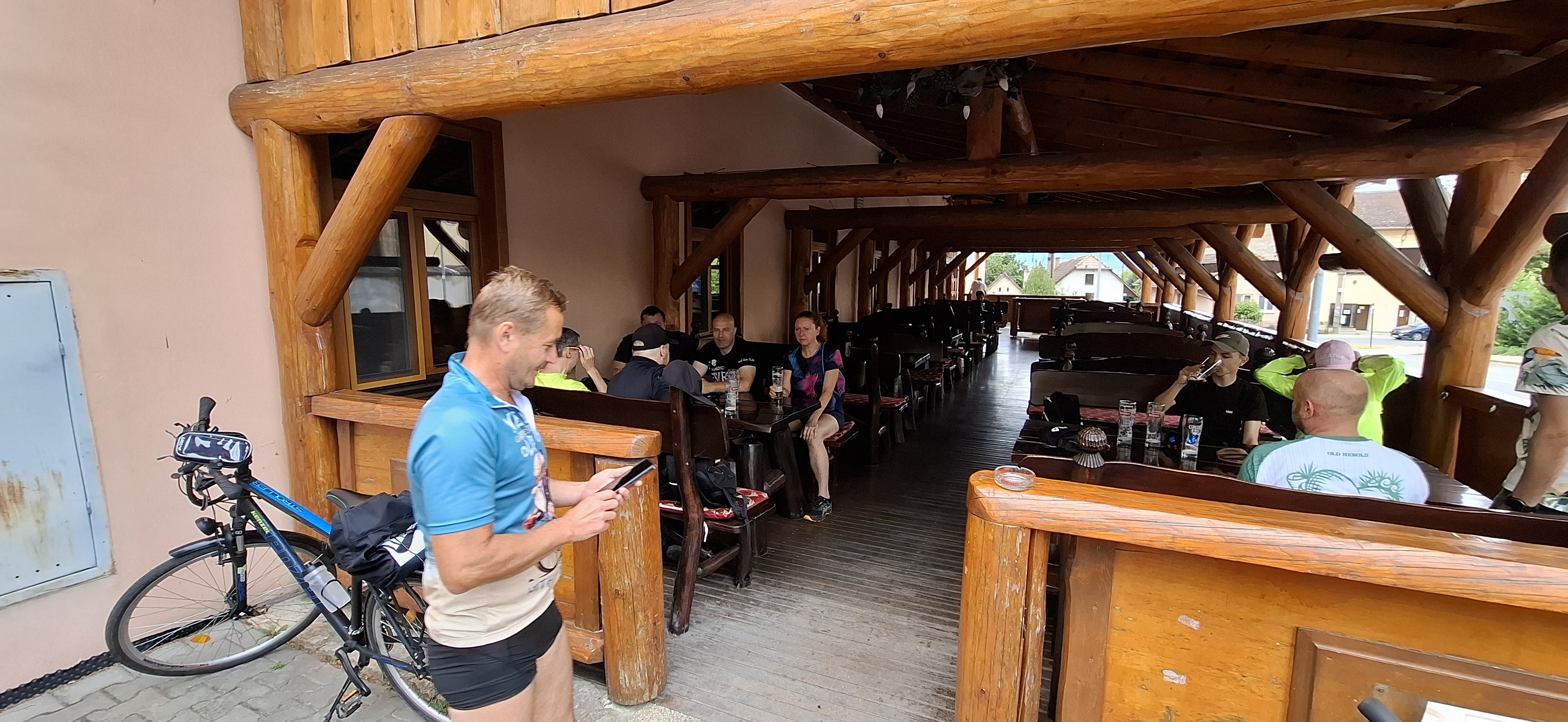
Route photos


Route quality
Waytypes & surfaces along the route
Waytypes
Road
8.7 km
(47 %)
Track
5.9 km
(32 %)
Surfaces
Paved
12.6 km
(68 %)
Unpaved
4.5 km
(24 %)
Asphalt
12.6 km
(68 %)
Gravel
3.5 km
(19 %)
Continue with Bikemap
Use, edit, or download this cycling route
You would like to ride 28. októbra do 28. októbra or customize it for your own trip? Here is what you can do with this Bikemap route:
Free features
- Save this route as favorite or in collections
- Copy & plan your own version of this route
- Sync your route with Garmin or Wahoo
Premium features
Free trial for 3 days, or one-time payment. More about Bikemap Premium.
- Navigate this route on iOS & Android
- Export a GPX / KML file of this route
- Create your custom printout (try it for free)
- Download this route for offline navigation
Discover more Premium features.
Get Bikemap PremiumFrom our community
Other popular routes starting in Trenčín
 Na vinohrady do Na vinohrady
- Distance
- 42.5 km
- Ascent
- 778 m
- Descent
- 828 m
- Location
- Trenčín, Trenčín Region, Slovakia
 MTB > Trenčín - ponad Trenč. Turnú a Selec odzadu na hrebeň - Inovec - Trenčín
- Distance
- 43.4 km
- Ascent
- 936 m
- Descent
- 938 m
- Location
- Trenčín, Trenčín Region, Slovakia
 Na vinohrady do Na vinohrady
- Distance
- 53.8 km
- Ascent
- 1,147 m
- Descent
- 1,191 m
- Location
- Trenčín, Trenčín Region, Slovakia
 Na vinohrady 4B do Na vinohrady 4B
- Distance
- 60.5 km
- Ascent
- 758 m
- Descent
- 807 m
- Location
- Trenčín, Trenčín Region, Slovakia
 Hanzlíkovská do Hanzlíkovská
- Distance
- 88.1 km
- Ascent
- 926 m
- Descent
- 926 m
- Location
- Trenčín, Trenčín Region, Slovakia
 Recovered Route
- Distance
- 83.4 km
- Ascent
- 1,405 m
- Descent
- 1,346 m
- Location
- Trenčín, Trenčín Region, Slovakia
 Na Zongorke 7604/4, Trenčín do Na Zongorke 7290/10, Trenčín
- Distance
- 59.4 km
- Ascent
- 692 m
- Descent
- 692 m
- Location
- Trenčín, Trenčín Region, Slovakia
 Mišova trasa č.1
- Distance
- 23 km
- Ascent
- 367 m
- Descent
- 369 m
- Location
- Trenčín, Trenčín Region, Slovakia
Open it in the app