

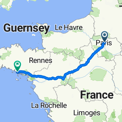
viaggiamndo_costabretone_zeppelin_2012
A cycling route starting in Pantin, Île-de-France Region, France.
Overview
About this route
[Paris][Paris-Rennes][Rennes-Vannes-Carnac-Concarneau-Quimper] [Locronan-Pointe du Raz-Quimper] [Camaret-Guimiliau-Saint-Thégonnec-Lannion] [Ploumanach-Cap Frehel-St. Malo][Mont St Michel-Caen] [Honfleur-Etretat-Rouen] [Giverny-Paris] (150 km)
- -:--
- Duration
- 2,078.1 km
- Distance
- 1,411 m
- Ascent
- 1,411 m
- Descent
- ---
- Avg. speed
- ---
- Max. altitude

Route quality
Waytypes & surfaces along the route
Waytypes
Quiet road
353.3 km
(17 %)
Road
187 km
(9 %)
Surfaces
Paved
1,205.3 km
(58 %)
Unpaved
41.6 km
(2 %)
Asphalt
1,184.5 km
(57 %)
Paved (undefined)
20.8 km
(1 %)
Route highlights
Points of interest along the route
Accommodation after 0.4 km
Pernottamento a Parigi
Accommodation after 391.9 km
pernottamento a Rennes
Point of interest after 537.4 km
passaggio per Carnac
Point of interest after 624.2 km
passaggio per Concarneau
Accommodation after 645.2 km
pernottamento a Quimper
Point of interest after 661.1 km
passaggio a Locronan
Point of interest after 703.8 km
passaggio a Pointe du Raz
Accommodation after 756.1 km
altro pernottamento a Quimper
Point of interest after 818.5 km
passaggio a Camaret
Point of interest after 885.8 km
passaggio a Guimiliau
Point of interest after 893.1 km
passaggio a Saint-Thégonnec
Accommodation after 944.3 km
pernottamento a Lannion
Accommodation after 1,108 km
pernottamento a St. Malo
Accommodation after 1,291.6 km
pernottamento a Caen
Point of interest after 1,344.2 km
escursione a Omaha Beach
Point of interest after 1,672.6 km
passaggio ad Arromanches
Accommodation after 1,684.5 km
pernottamento a Bayeux
Point of interest after 1,781.8 km
passaggio a Honfleur
Point of interest after 1,844.9 km
passaggio a Etretat
Accommodation after 1,934.9 km
pernottamento a Rouen
Point of interest after 1,991.3 km
passaggio a Giverny
Accommodation after 2,077.6 km
pernottamento a parigi
Continue with Bikemap
Use, edit, or download this cycling route
You would like to ride viaggiamndo_costabretone_zeppelin_2012 or customize it for your own trip? Here is what you can do with this Bikemap route:
Free features
- Save this route as favorite or in collections
- Copy & plan your own version of this route
- Split it into stages to create a multi-day tour
- Sync your route with Garmin or Wahoo
Premium features
Free trial for 3 days, or one-time payment. More about Bikemap Premium.
- Navigate this route on iOS & Android
- Export a GPX / KML file of this route
- Create your custom printout (try it for free)
- Download this route for offline navigation
Discover more Premium features.
Get Bikemap PremiumFrom our community
Other popular routes starting in Pantin
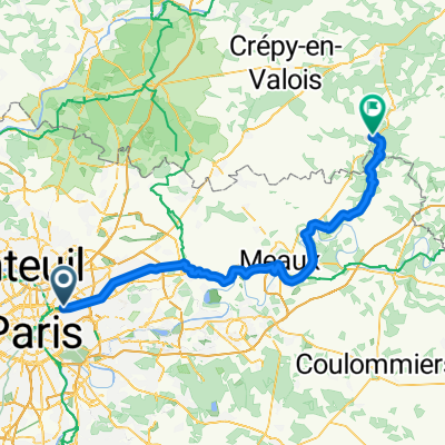 Paris - Mareuil-sur-Ourcq
- Distance
- 82.2 km
- Ascent
- 489 m
- Descent
- 475 m
- Location
- Pantin, Île-de-France Region, France
 viaggiamndo_costabretone_zeppelin_2012
- Distance
- 2,078.1 km
- Ascent
- 1,411 m
- Descent
- 1,411 m
- Location
- Pantin, Île-de-France Region, France
 Ride Bérêt Baguette 2018 - 8ème Edition
- Distance
- 12.1 km
- Ascent
- 58 m
- Descent
- 56 m
- Location
- Pantin, Île-de-France Region, France
 3 jours à moins de 100 km
- Distance
- 232.1 km
- Ascent
- 336 m
- Descent
- 336 m
- Location
- Pantin, Île-de-France Region, France
 Paris la nuit c'est fini
- Distance
- 28 km
- Ascent
- 176 m
- Descent
- 177 m
- Location
- Pantin, Île-de-France Region, France
 paris Erdeven3
- Distance
- 584.4 km
- Ascent
- 520 m
- Descent
- 555 m
- Location
- Pantin, Île-de-France Region, France
 Que d'eau, que d'eau!
- Distance
- 47.7 km
- Ascent
- 212 m
- Descent
- 212 m
- Location
- Pantin, Île-de-France Region, France
 Paris to Mamy <3
- Distance
- 91.6 km
- Ascent
- 305 m
- Descent
- 281 m
- Location
- Pantin, Île-de-France Region, France
Open it in the app