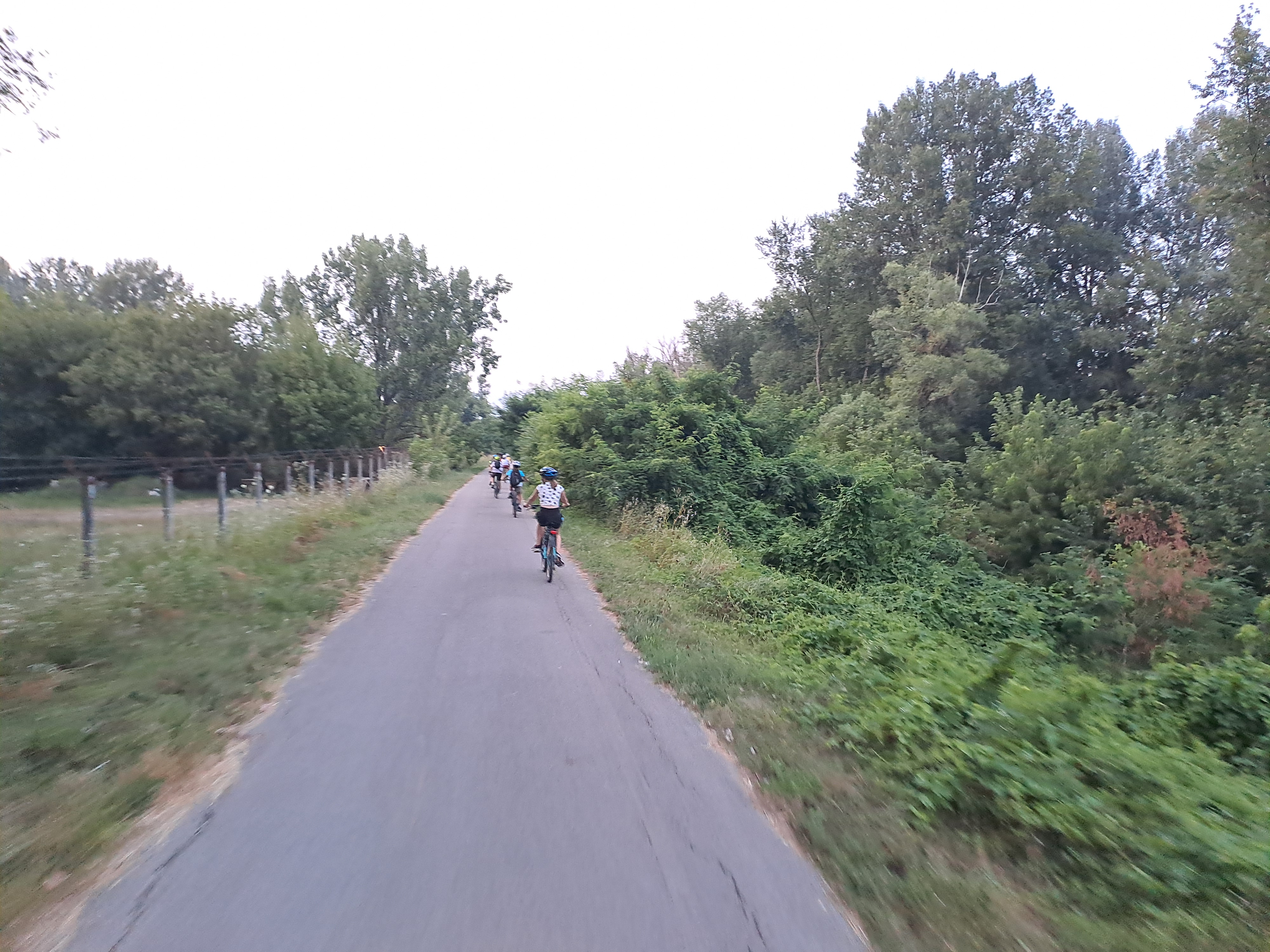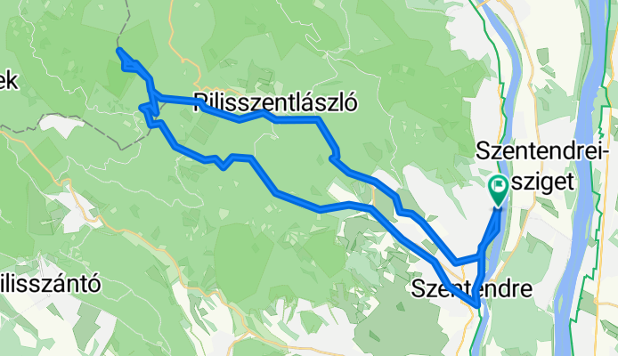

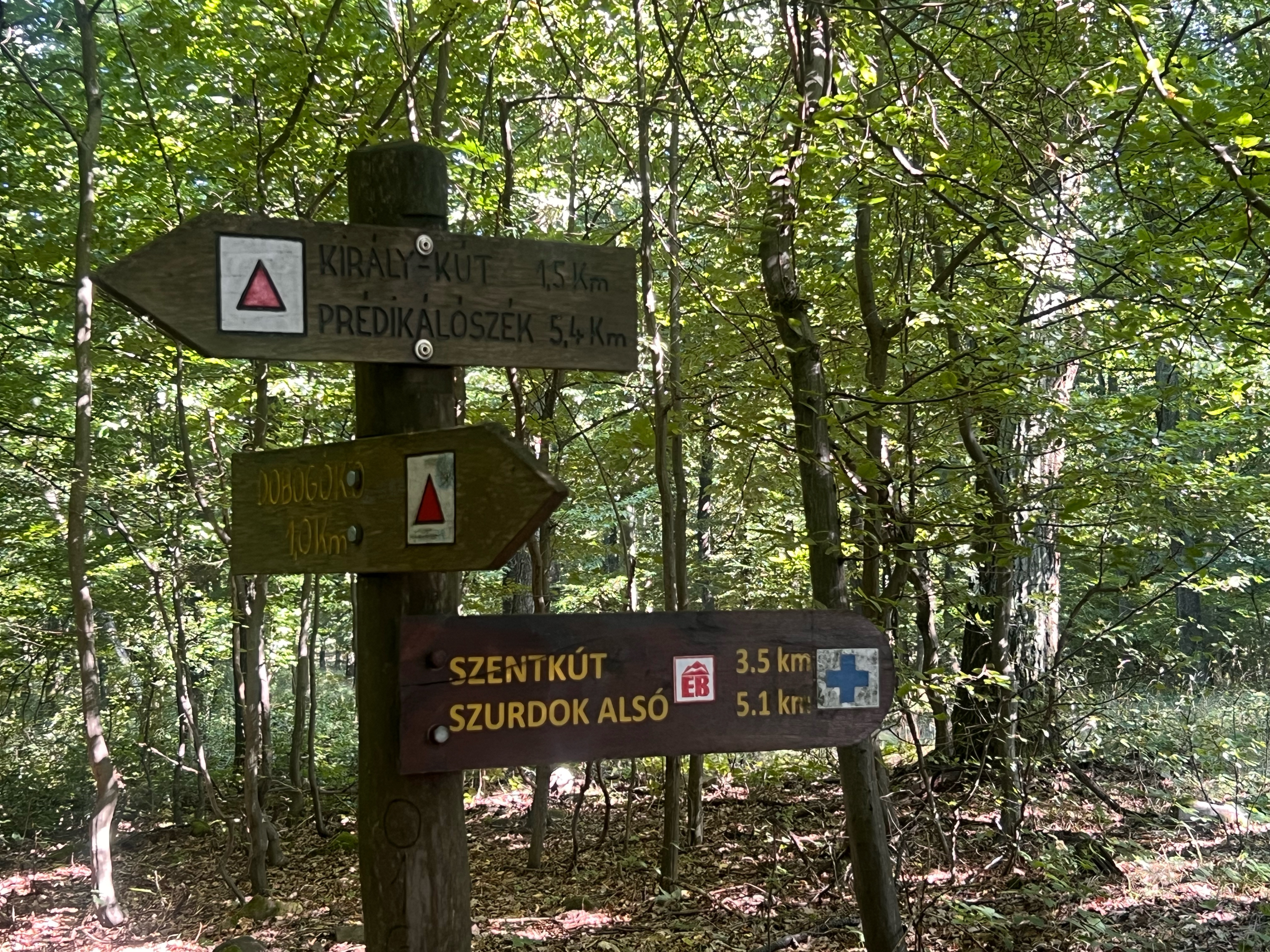
Dobogókő !
- 45 km
- 802 m
- 802 m
- Szentendre, Pest County, Hungary
A cycling route starting in Szentendre, Pest County, Hungary.
Overview
created this 1 year ago


Route quality
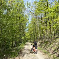
Track
12.6 km
(29 %)
Quiet road
9.6 km
(22 %)
Paved
27.9 km
(64 %)
Unpaved
14 km
(32 %)
Asphalt
27.9 km
(64 %)
Gravel
10 km
(23 %)
Continue with Bikemap
You would like to ride szentendre-prédikálószék-pilisszentlászló-szentendre or customize it for your own trip? Here is what you can do with this Bikemap route:
Free trial for 3 days, or one-time payment. More about Bikemap Premium.
Discover more Premium features.
Get Bikemap PremiumFrom our community
Open it in the app