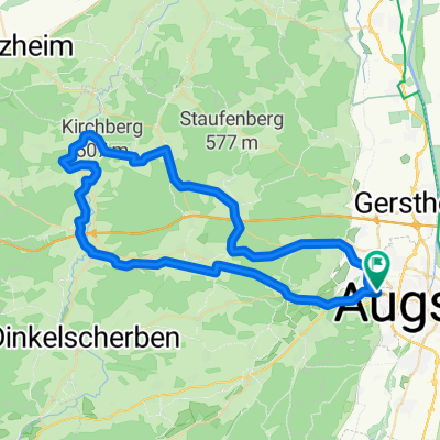
Zu den „drei Böbbala“ von Klosterlechfeld
- 71.9 km
- 335 m
- 333 m
- Stadtbergen, Bavaria, Germany
A cycling route starting in Stadtbergen, Bavaria, Germany.
Overview
created this 1 year ago


Route quality
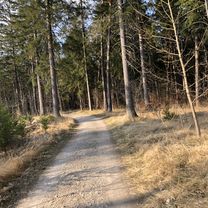
Path
29.1 km
(54 %)
Quiet road
10.2 km
(19 %)
Paved
49.6 km
(92 %)
Unpaved
3.8 km
(7 %)
Asphalt
49 km
(91 %)
Gravel
3.8 km
(7 %)
Continue with Bikemap
You would like to ride R 31 Wörleschwang or customize it for your own trip? Here is what you can do with this Bikemap route:
Free trial for 3 days, or one-time payment. More about Bikemap Premium.
Discover more Premium features.
Get Bikemap PremiumFrom our community
Open it in the app