um Minderslachen
- 11.4 km
- 28 m
- 29 m
- Kandel, Rhineland-Palatinate, Germany
A cycling route starting in Kandel, Rhineland-Palatinate, Germany.
Overview
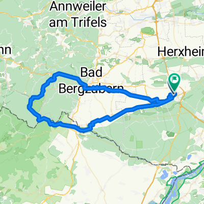
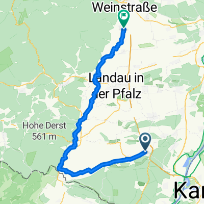
Parking: Kandel Industriestrasse B 49.09970 L 8.18343 Aimless ride towards the mountains. At the height between Göcklingen and Mörzheim, in the midst of the vineyards, we have a small picnic. We chat with tourists from northern Germany about the beautiful Palatinate and the panorama before us with the Madenburg. We pass through Landau, past the Ebenberg airfield to Herxheim, home.
created this 13 years ago
Route quality
Track
26.4 km
(58 %)
Quiet road
6.8 km
(15 %)
Paved
40.5 km
(89 %)
Unpaved
1.8 km
(4 %)
Asphalt
31.4 km
(69 %)
Concrete
5 km
(11 %)
Route highlights
Flugmodelle
Flugmodelle
Landau:Jugendstiel,Gartenstadt und Festung
Rathaus
Stadttor
Continue with Bikemap
You would like to ride Weinberge or customize it for your own trip? Here is what you can do with this Bikemap route:
Free trial for 3 days, or one-time payment. More about Bikemap Premium.
Discover more Premium features.
Get Bikemap PremiumFrom our community
Open it in the app