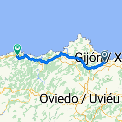
Avenida José Madre Palacio Álvarez, Gijón a Calle de Corín Tellado, Gijón
- 7.3 km
- 28 m
- 31 m
- Natahoyo, Principality of Asturias, Spain
A cycling route starting in Natahoyo, Principality of Asturias, Spain.
Overview
START AT CERILLERO.
TREMAÑES
SENDA CAMOCHA
ALTO LA MADERA
POZO LA CAMOCHA
PICO EL SOL
LAVANDERA/LA CAMOCHA
SENDA DEL PILES
DEVA FOUNTAIN
CURBIELLO
PEON
MONTE DEVA
BALDORNON
MUÑO
MUÑO FOREST
PICO DEL SOL
SENDA CAMOCHA
CERILLERO.
created this 13 years ago
Route highlights
ALTO EL CERILLERO
ALTO LA MADERA
PICO DEL SOL
LA CAMOCHA
PILES
DEVA
CURBIELLO
PEON
MONTE DEVA
BALDORNON
BOSQUE MUÑO
Continue with Bikemap
You would like to ride SALIDA PYNOSPERDIUS 24/03/12 or customize it for your own trip? Here is what you can do with this Bikemap route:
Free trial for 3 days, or one-time payment. More about Bikemap Premium.
Discover more Premium features.
Get Bikemap PremiumFrom our community
Open it in the app