

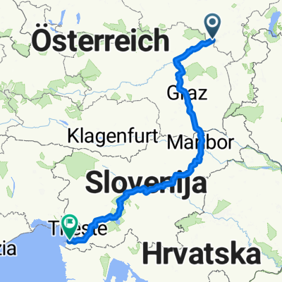
Spital am Semmering nach Bruck an der Mur
A cycling route starting in Semmering, Lower Austria, Austria.
Overview
About this route
Semmering, Spital am Semering, Mürzzuschlag, Krieglach, Wartberg im Mürztal, Kindberg, St. Marein im Mürztal, Karpfenberg, Bruck an der Mur
- 3 h 46 min
- Duration
- 61.8 km
- Distance
- 499 m
- Ascent
- 1,009 m
- Descent
- 16.4 km/h
- Avg. speed
- 995 m
- Max. altitude

Route quality
Waytypes & surfaces along the route
Waytypes
Quiet road
32.9 km
(53 %)
Cycleway
14.1 km
(23 %)
Surfaces
Paved
56 km
(91 %)
Unpaved
1.2 km
(2 %)
Asphalt
55.4 km
(90 %)
Gravel
1 km
(2 %)
Continue with Bikemap
Use, edit, or download this cycling route
You would like to ride Spital am Semmering nach Bruck an der Mur or customize it for your own trip? Here is what you can do with this Bikemap route:
Free features
- Save this route as favorite or in collections
- Copy & plan your own version of this route
- Sync your route with Garmin or Wahoo
Premium features
Free trial for 3 days, or one-time payment. More about Bikemap Premium.
- Navigate this route on iOS & Android
- Export a GPX / KML file of this route
- Create your custom printout (try it for free)
- Download this route for offline navigation
Discover more Premium features.
Get Bikemap PremiumFrom our community
Other popular routes starting in Semmering
 Kombi_runde_
- Distance
- 25.1 km
- Ascent
- 815 m
- Descent
- 815 m
- Location
- Semmering, Lower Austria, Austria
 Semmering-Izola
- Distance
- 476.6 km
- Ascent
- 1,082 m
- Descent
- 1,965 m
- Location
- Semmering, Lower Austria, Austria
 2. Tag 2014
- Distance
- 130.7 km
- Ascent
- 1,798 m
- Descent
- 2,106 m
- Location
- Semmering, Lower Austria, Austria
 fkhhj
fkhhj- Distance
- 69.3 km
- Ascent
- 2,234 m
- Descent
- 2,115 m
- Location
- Semmering, Lower Austria, Austria
 ALPEN 033: Semmering - Rust/Neusiedler See
- Distance
- 91.3 km
- Ascent
- 148 m
- Descent
- 998 m
- Location
- Semmering, Lower Austria, Austria
 Hochschwab-túra
- Distance
- 238.6 km
- Ascent
- 4,805 m
- Descent
- 4,827 m
- Location
- Semmering, Lower Austria, Austria
 Pinkenkogel
- Distance
- 39.3 km
- Ascent
- 1,446 m
- Descent
- 1,440 m
- Location
- Semmering, Lower Austria, Austria
 Alpannonia complete 3
- Distance
- 22.8 km
- Ascent
- 1,147 m
- Descent
- 386 m
- Location
- Semmering, Lower Austria, Austria
Open it in the app