

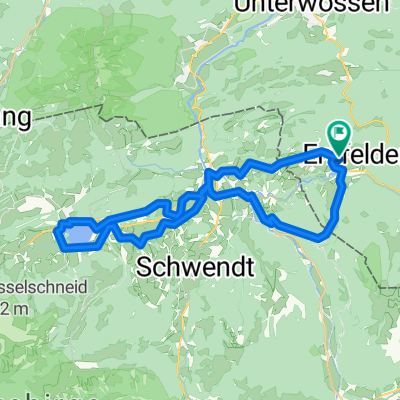
Mountainbiketour Drei-Seen-Runde in den Chiemgauer Alpen
A cycling route starting in Reit im Winkl, Bavaria, Germany.
Overview
About this route
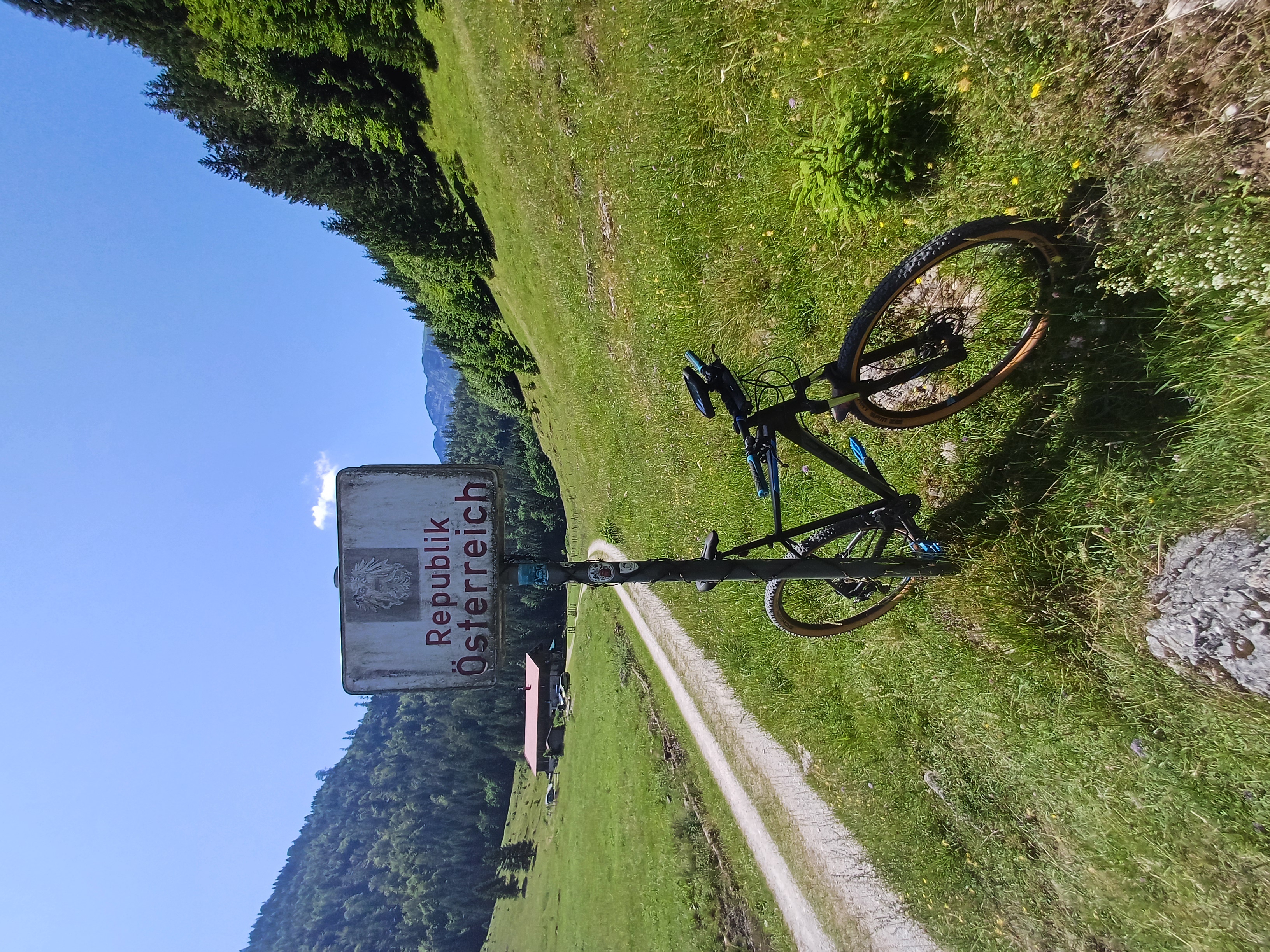
Canada just without bears. A beautiful bike tour around the three lakes in Reit im Winkl with Rocky Mountains feeling for the whole family.
- 4 h 8 min
- Duration
- 26.9 km
- Distance
- 486 m
- Ascent
- 485 m
- Descent
- 6.5 km/h
- Avg. speed
- 912 m
- Max. altitude

Continue with Bikemap
Use, edit, or download this cycling route
You would like to ride Mountainbiketour Drei-Seen-Runde in den Chiemgauer Alpen or customize it for your own trip? Here is what you can do with this Bikemap route:
Free features
- Save this route as favorite or in collections
- Copy & plan your own version of this route
- Sync your route with Garmin or Wahoo
Premium features
Free trial for 3 days, or one-time payment. More about Bikemap Premium.
- Navigate this route on iOS & Android
- Export a GPX / KML file of this route
- Create your custom printout (try it for free)
- Download this route for offline navigation
Discover more Premium features.
Get Bikemap PremiumFrom our community
Other popular routes starting in Reit im Winkl
 Reit im Winkel - Straubinger Haus/Eggenalm
- Distance
- 52.1 km
- Ascent
- 1,473 m
- Descent
- 1,473 m
- Location
- Reit im Winkl, Bavaria, Germany
 Chiemgauradweg 3
- Distance
- 59.7 km
- Ascent
- 460 m
- Descent
- 552 m
- Location
- Reit im Winkl, Bavaria, Germany
 Route_9_zum_Walchsee
- Distance
- 38.7 km
- Ascent
- 651 m
- Descent
- 652 m
- Location
- Reit im Winkl, Bavaria, Germany
 Von Reit im Winkl zum Walchsee
- Distance
- 41.5 km
- Ascent
- 1,002 m
- Descent
- 1,002 m
- Location
- Reit im Winkl, Bavaria, Germany
 Seegatterl-Blindau-Straubinger Haus-Seegatterl
- Distance
- 23.1 km
- Ascent
- 1,037 m
- Descent
- 704 m
- Location
- Reit im Winkl, Bavaria, Germany
 20160723 - Umrundung des Dürrnbachhorns
- Distance
- 45 km
- Ascent
- 702 m
- Descent
- 702 m
- Location
- Reit im Winkl, Bavaria, Germany
 Mountainbiketour Drei-Seen-Runde in den Chiemgauer Alpen
- Distance
- 26.9 km
- Ascent
- 486 m
- Descent
- 485 m
- Location
- Reit im Winkl, Bavaria, Germany
 Reit im Winkl - Winkelmoos - Steinplatte - Loferer Alm - Lofer
- Distance
- 41.2 km
- Ascent
- 1,445 m
- Descent
- 1,507 m
- Location
- Reit im Winkl, Bavaria, Germany
Open it in the app