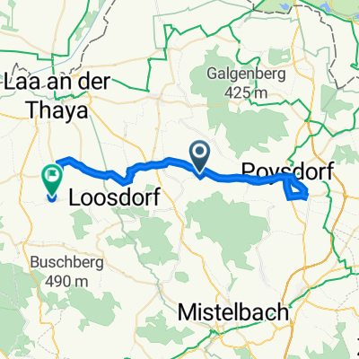

Bahnhof Enzersdorf - Graveln - Mistelbach
- 43.8 km
- 532 m
- 569 m
- Staatz, Lower Austria, Austria
A cycling route starting in Staatz, Lower Austria, Austria.
Overview
created this 1 year ago
Route quality
Quiet road
23.6 km
(54 %)
Road
7 km
(16 %)
Paved
35.9 km
(82 %)
Unpaved
3.5 km
(8 %)
Asphalt
32.8 km
(75 %)
Paved (undefined)
3.1 km
(7 %)
Continue with Bikemap
You would like to ride Bahnhof Enzersdorf - Graveln - Mistelbach or customize it for your own trip? Here is what you can do with this Bikemap route:
Free trial for 3 days, or one-time payment. More about Bikemap Premium.
Discover more Premium features.
Get Bikemap PremiumFrom our community
Open it in the app