Dehesa Boyal desde Club de Campo
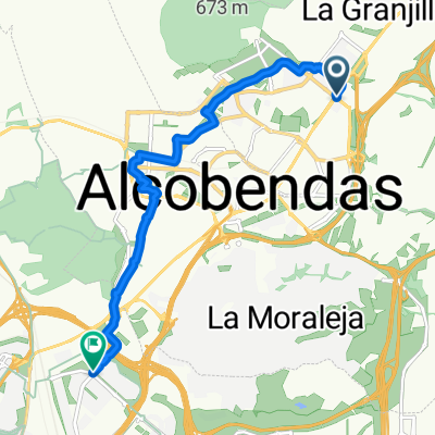
A cycling route starting in San Sebastián de los Reyes, Madrid, Spain.
Overview
About this route
El tramo que transcurre por la Dehesa Boyal es realmente bonito, y además es todo bajada (la subida se hace antes). Recomiendo ir por el ramal norte y volver por el sur.
- -:--
- Duration
- 20.7 km
- Distance
- 271 m
- Ascent
- 270 m
- Descent
- ---
- Avg. speed
- ---
- Avg. speed
Route quality
Waytypes & surfaces along the route
Waytypes
Quiet road
8.4 km
(41 %)
Track
8 km
(38 %)
Surfaces
Paved
0.8 km
(4 %)
Unpaved
7.8 km
(38 %)
Ground
5.3 km
(26 %)
Gravel
2.5 km
(12 %)
Continue with Bikemap
Use, edit, or download this cycling route
You would like to ride Dehesa Boyal desde Club de Campo or customize it for your own trip? Here is what you can do with this Bikemap route:
Free features
- Save this route as favorite or in collections
- Copy & plan your own version of this route
- Sync your route with Garmin or Wahoo
Premium features
Free trial for 3 days, or one-time payment. More about Bikemap Premium.
- Navigate this route on iOS & Android
- Export a GPX / KML file of this route
- Create your custom printout (try it for free)
- Download this route for offline navigation
Discover more Premium features.
Get Bikemap PremiumFrom our community
Other popular routes starting in San Sebastián de los Reyes
- SS - Fuente el Saz - Alalpardo - Valdeolmos - Cobeña
- Distance
- 53.5 km
- Ascent
- 357 m
- Descent
- 357 m
- Location
- San Sebastián de los Reyes, Madrid, Spain
- triatlon road tinença
- Distance
- 39.5 km
- Ascent
- 40 m
- Descent
- 28 m
- Location
- San Sebastián de los Reyes, Madrid, Spain
- De Avenida de Severo Ochoa, 14, San Sebastián de los Reyes a Avenida de Severo Ochoa, 14, San Sebastián de los Reyes
- Distance
- 24.6 km
- Ascent
- 97 m
- Descent
- 99 m
- Location
- San Sebastián de los Reyes, Madrid, Spain
- San Sebastian de los Reyes [Dehesa Boyal]
- Distance
- 21.3 km
- Ascent
- 205 m
- Descent
- 203 m
- Location
- San Sebastián de los Reyes, Madrid, Spain
- Ruta aeropuerto con niños
- Distance
- 12.8 km
- Ascent
- 64 m
- Descent
- 65 m
- Location
- San Sebastián de los Reyes, Madrid, Spain
- De Avenida de los Reyes Católicos, San Sebastián de los Reyes a Calle de Juan Olivares, 5, San Sebastián de los Reyes
- Distance
- 55.2 km
- Ascent
- 688 m
- Descent
- 687 m
- Location
- San Sebastián de los Reyes, Madrid, Spain
- Algete El molar
- Distance
- 43.1 km
- Ascent
- 288 m
- Descent
- 288 m
- Location
- San Sebastián de los Reyes, Madrid, Spain
- De Plaza de Olivares, 4, San Sebastián de los Reyes a Calle de Juan Olivares, 5, San Sebastián de los Reyes
- Distance
- 55.7 km
- Ascent
- 742 m
- Descent
- 735 m
- Location
- San Sebastián de los Reyes, Madrid, Spain
Open it in the app