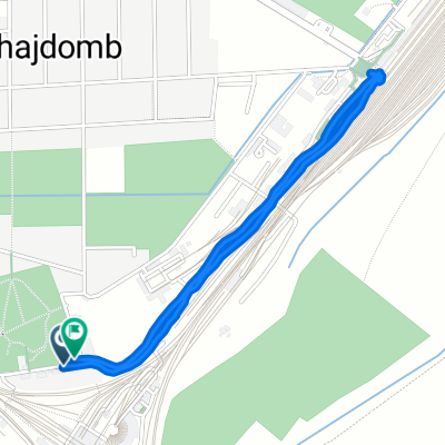
Round Kercseliget 42k 366m
A cycling route starting in Domb贸v谩r, Tolna County, Hungary.
Overview
About this route
Please be prepared to 3-4 times 10...11% ascend, and right before the St. Antal chapel a 17% ascend (about 50 m).
Only recommended with MTB.
There are some muddy road, so only recommended in dry weather.
Surfaces: dirt road, meadow, hiking trail, gravel, asphalt.
- 2 h 39 min
- Duration
- 41.3 km
- Distance
- 364 m
- Ascent
- 364 m
- Descent
- 15.6 km/h
- Avg. speed
- 277 m
- Max. altitude
Route photos
Route quality
Waytypes & surfaces along the route
Waytypes
Track
11.6 km
(28 %)
Quiet road
9.9 km
(24 %)
Surfaces
Paved
19 km
(46 %)
Unpaved
6.2 km
(15 %)
Asphalt
18.6 km
(45 %)
Pebblestone
4.1 km
(10 %)
Continue with Bikemap
Use, edit, or download this cycling route
You would like to ride Round Kercseliget 42k 366m or customize it for your own trip? Here is what you can do with this Bikemap route:
Free features
- Save this route as favorite or in collections
- Copy & plan your own version of this route
- Sync your route with Garmin or Wahoo
Premium features
Free trial for 3 days, or one-time payment. More about Bikemap Premium.
- Navigate this route on iOS & Android
- Export a GPX / KML file of this route
- Create your custom printout (try it for free)
- Download this route for offline navigation
Discover more Premium features.
Get Bikemap PremiumFrom our community
Other popular routes starting in Domb贸v谩r
- Domb贸v谩r - Nagyhajm谩s a Piros - S谩rga turista 煤t
- Distance
- 27.9 km
- Ascent
- 1,541 m
- Descent
- 1,544 m
- Location
- Domb贸v谩r, Tolna County, Hungary
- T眉skei halast贸 k枚r煤t
- Distance
- 18.2 km
- Ascent
- 39 m
- Descent
- 40 m
- Location
- Domb贸v谩r, Tolna County, Hungary
- Dombovar-V谩rong
- Distance
- 69.7 km
- Ascent
- 256 m
- Descent
- 255 m
- Location
- Domb贸v谩r, Tolna County, Hungary
- Domb贸v谩r - Nagyhajm谩s - D枚br枚k枚z
- Distance
- 31.3 km
- Ascent
- 351 m
- Descent
- 339 m
- Location
- Domb贸v谩r, Tolna County, Hungary
- Mocsol谩di k枚r
- Distance
- 45.6 km
- Ascent
- 354 m
- Descent
- 356 m
- Location
- Domb贸v谩r, Tolna County, Hungary
- jhhhh
- Distance
- 80.8 km
- Ascent
- 488 m
- Descent
- 497 m
- Location
- Domb贸v谩r, Tolna County, Hungary
- Piros + T煤ra煤t - V谩s谩rosdomb贸 - Kisvaszar
- Distance
- 38 km
- Ascent
- 489 m
- Descent
- 489 m
- Location
- Domb贸v谩r, Tolna County, Hungary
- Domb贸v谩r - Sz艖l艖hegy k艖r plusz _2
- Distance
- 11 km
- Ascent
- 109 m
- Descent
- 129 m
- Location
- Domb贸v谩r, Tolna County, Hungary
Open it in the app