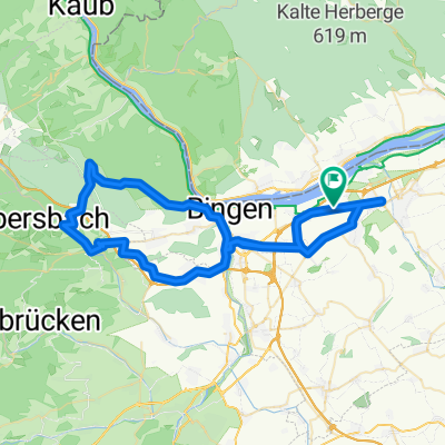
003b Ingelheim - Lauschhütte - Roth - Ingelheim
- 60.7 km
- 694 m
- 694 m
- Gau-Algesheim, Rhineland-Palatinate, Germany
Start and finish location: Tor 1
Ingelheim - Bingen Gaulsheim - Ockenheim - Bingen Büdesheim - Münster Sarmsheim - Burg Layen - Rümmelsheim - Waldalgesheim - Wald Erbach - Warmsroth - Daxweiler - Seibersbach - Dörrebach - Schöneberg - Hergenfeld - Windesheim - Guldental - Langenlonsheim - Gensingen - Horrweiler - Aspisheim - Appenheim -Gau Algesheim - Ingelheim.
Road
33.9 km45 %Quiet road
9 km12 %Paved
58.7 km(78 %)Unpaved
2.3 km(3 %)Asphalt
53.4 km71 %Paved (undefined)
5.3 km7 %Free trial for 3 days, or one-time payment. More about Bikemap Premium.
Discover more Premium features.
Get Bikemap PremiumOpen it in the app