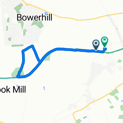
Melksham to Marlborough
A cycling route starting in Seend, England, United Kingdom.
Overview
About this route
- 2 h 38 min
- Duration
- 33.7 km
- Distance
- 270 m
- Ascent
- 168 m
- Descent
- 12.8 km/h
- Avg. speed
- 219 m
- Avg. speed
Route photos
Route quality
Waytypes & surfaces along the route
Waytypes
Road
22.3 km
(66 %)
Cycleway
6.7 km
(20 %)
Surfaces
Paved
8.4 km
(25 %)
Unpaved
6.1 km
(18 %)
Asphalt
8.1 km
(24 %)
Gravel
4.1 km
(12 %)
Continue with Bikemap
Use, edit, or download this cycling route
You would like to ride Melksham to Marlborough or customize it for your own trip? Here is what you can do with this Bikemap route:
Free features
- Save this route as favorite or in collections
- Copy & plan your own version of this route
- Sync your route with Garmin or Wahoo
Premium features
Free trial for 3 days, or one-time payment. More about Bikemap Premium.
- Navigate this route on iOS & Android
- Export a GPX / KML file of this route
- Create your custom printout (try it for free)
- Download this route for offline navigation
Discover more Premium features.
Get Bikemap PremiumFrom our community
Other popular routes starting in Seend
- Melksham to Marlborough
- Distance
- 33.7 km
- Ascent
- 270 m
- Descent
- 168 m
- Location
- Seend, England, United Kingdom
- Devies trip 1
- Distance
- 76.4 km
- Ascent
- 346 m
- Descent
- 345 m
- Location
- Seend, England, United Kingdom
- Easy ride in Melksham
- Distance
- 4.6 km
- Ascent
- 8 m
- Descent
- 8 m
- Location
- Seend, England, United Kingdom
- devizes
- Distance
- 18.4 km
- Ascent
- 100 m
- Descent
- 102 m
- Location
- Seend, England, United Kingdom
- Easy ride in Melksham
- Distance
- 9.1 km
- Ascent
- 101 m
- Descent
- 100 m
- Location
- Seend, England, United Kingdom
- Devizes Loop
- Distance
- 38.4 km
- Ascent
- 77 m
- Descent
- 76 m
- Location
- Seend, England, United Kingdom
- Campsite Devizes Loop
- Distance
- 36.3 km
- Ascent
- 225 m
- Descent
- 224 m
- Location
- Seend, England, United Kingdom
- The Barge Inn, Melksham to 10 Silver St, Warminster
- Distance
- 40.9 km
- Ascent
- 441 m
- Descent
- 374 m
- Location
- Seend, England, United Kingdom