

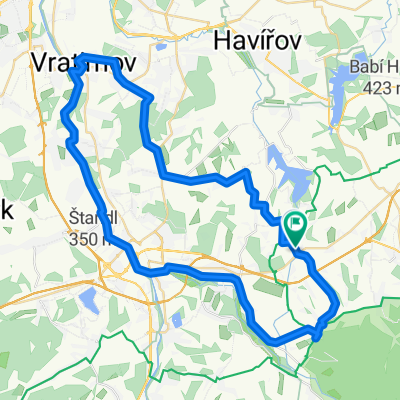
Do konia na pivo
A cycling route starting in Lučina, Moravskoslezský kraj, Czechia.
Overview
About this route
The more information you write here, the more useful it will be for other users.<br /><br />* Route description.<br />* What is special about this route?<br />* Why recommend this route?<br />* What did you like most here?<br />* Etc.
- -:--
- Duration
- 44.2 km
- Distance
- 282 m
- Ascent
- 282 m
- Descent
- ---
- Avg. speed
- ---
- Max. altitude

Route quality
Waytypes & surfaces along the route
Waytypes
Quiet road
24.3 km
(55 %)
Road
11.5 km
(26 %)
Surfaces
Paved
7.5 km
(17 %)
Asphalt
7.5 km
(17 %)
Undefined
36.7 km
(83 %)
Continue with Bikemap
Use, edit, or download this cycling route
You would like to ride Do konia na pivo or customize it for your own trip? Here is what you can do with this Bikemap route:
Free features
- Save this route as favorite or in collections
- Copy & plan your own version of this route
- Sync your route with Garmin or Wahoo
Premium features
Free trial for 3 days, or one-time payment. More about Bikemap Premium.
- Navigate this route on iOS & Android
- Export a GPX / KML file of this route
- Create your custom printout (try it for free)
- Download this route for offline navigation
Discover more Premium features.
Get Bikemap PremiumFrom our community
Other popular routes starting in Lučina
 Dookoła Lysej Hory
- Distance
- 95.3 km
- Ascent
- 1,419 m
- Descent
- 1,419 m
- Location
- Lučina, Moravskoslezský kraj, Czechia
 RAJD 2017
- Distance
- 10.2 km
- Ascent
- 119 m
- Descent
- 119 m
- Location
- Lučina, Moravskoslezský kraj, Czechia
 Podjazd na Godulę i Ropiczkę
- Distance
- 6.7 km
- Ascent
- 570 m
- Descent
- 89 m
- Location
- Lučina, Moravskoslezský kraj, Czechia
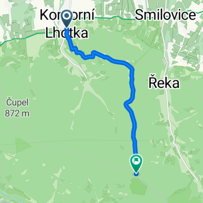
 Beskydy3_KomorLhotka_Ropice_Javorovy_Ostry_46_990
- Distance
- 46.4 km
- Ascent
- 1,011 m
- Descent
- 1,012 m
- Location
- Lučina, Moravskoslezský kraj, Czechia
 Soběšovice, Soběšovice do Soběšovice, Soběšovice
- Distance
- 30.7 km
- Ascent
- 410 m
- Descent
- 449 m
- Location
- Lučina, Moravskoslezský kraj, Czechia
 Horní Bludovice 307, Horní Bludovice to Selská 1329/43, Havířov
- Distance
- 3.3 km
- Ascent
- 16 m
- Descent
- 37 m
- Location
- Lučina, Moravskoslezský kraj, Czechia
 Žermanice do Žermanice
- Distance
- 34.4 km
- Ascent
- 480 m
- Descent
- 478 m
- Location
- Lučina, Moravskoslezský kraj, Czechia
 picytur2015-01
- Distance
- 53.6 km
- Ascent
- 329 m
- Descent
- 328 m
- Location
- Lučina, Moravskoslezský kraj, Czechia
Open it in the app