

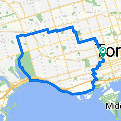
Lighthouse Loop, Toronto
A cycling route starting in Toronto, Ontario, Canada.
Overview
About this route
A fun and scenic loop at the Leslie Spit. The paved section is straight and fast. The unpaved section has many twists and turns along the shoreline. This loop begins and ends at the iconic lighthouse and is a great ride for doing laps solo or with friends.
- 20 min
- Duration
- 6.5 km
- Distance
- 34 m
- Ascent
- 4 m
- Descent
- 19.5 km/h
- Avg. speed
- 75 m
- Max. altitude

Route photos


Route quality
Waytypes & surfaces along the route
Waytypes
Quiet road
4.7 km
(72 %)
Path
1.2 km
(18 %)
Surfaces
Paved
4.8 km
(73 %)
Unpaved
1.8 km
(28 %)
Asphalt
4.7 km
(72 %)
Gravel
1.1 km
(17 %)
Route highlights
Points of interest along the route
Drinking water after 3.6 km
Point of interest after 4.6 km
Floating bridge. Signs say to dismount but most cyclists just cross slowly.
Continue with Bikemap
Use, edit, or download this cycling route
You would like to ride Lighthouse Loop, Toronto or customize it for your own trip? Here is what you can do with this Bikemap route:
Free features
- Save this route as favorite or in collections
- Copy & plan your own version of this route
- Sync your route with Garmin or Wahoo
Premium features
Free trial for 3 days, or one-time payment. More about Bikemap Premium.
- Navigate this route on iOS & Android
- Export a GPX / KML file of this route
- Create your custom printout (try it for free)
- Download this route for offline navigation
Discover more Premium features.
Get Bikemap PremiumFrom our community
Other popular routes starting in Toronto
 Cabana
- Distance
- 13.1 km
- Ascent
- 91 m
- Descent
- 93 m
- Location
- Toronto, Ontario, Canada
 2020-05-20 Morning round DT Toronto
- Distance
- 34.9 km
- Ascent
- 168 m
- Descent
- 165 m
- Location
- Toronto, Ontario, Canada
 Cedarvale Park
- Distance
- 5.9 km
- Ascent
- 39 m
- Descent
- 39 m
- Location
- Toronto, Ontario, Canada
 - Short steep climbs & fast descents in the Beach
- Distance
- 5.4 km
- Ascent
- 107 m
- Descent
- 110 m
- Location
- Toronto, Ontario, Canada
 1 Waterfront Trail, Toronto to 2075 Queen St E, Toronto
- Distance
- 4.3 km
- Ascent
- 3 m
- Descent
- 3 m
- Location
- Toronto, Ontario, Canada
 -Short Steep climbs & fast descents in the Beach
- Distance
- 5.2 km
- Ascent
- 98 m
- Descent
- 108 m
- Location
- Toronto, Ontario, Canada
 Thicc bike bois
- Distance
- 61.3 km
- Ascent
- 173 m
- Descent
- 170 m
- Location
- Toronto, Ontario, Canada
 High Park
- Distance
- 18.4 km
- Ascent
- 63 m
- Descent
- 63 m
- Location
- Toronto, Ontario, Canada
Open it in the app