Tan Dan, Nghi Son nach National Road 1A, Nghi Son
- 6.3 km
- 14 m
- 14 m
- Tĩnh Gia, Thanh Hóa Province, Vietnam
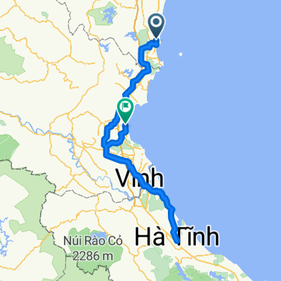
A cycling route starting in Tĩnh Gia, Thanh Hóa Province, Vietnam.
Overview
created this 1 year ago
Continue with Bikemap
You would like to ride Day 396 or customize it for your own trip? Here is what you can do with this Bikemap route:
Free trial for 3 days, or one-time payment. More about Bikemap Premium.
Discover more Premium features.
Get Bikemap PremiumFrom our community
Open it in the app