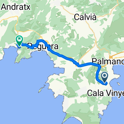
Villa Carmen - Son Font - Coll de sa Creu
- 58.3 km
- 993 m
- 993 m
- Magaluf, Balearic Islands, Spain
A cycling route starting in Magaluf, Balearic Islands, Spain.
Overview
In Galilea, it is worth the detour to the church; there is a very nice view and cold Colas in a mini-supermarket. Alternatively, there is a supermarket in Puigpunyent directly on the route. In Valldemossa, there is a pizzeria on the left side of the road to the center. The pizza has become smaller than it used to be, but it is still delicious and relatively affordable for Valldemossa. At the market square in Sóller (Plaça d'Espanya), there are many cafés; unfortunately, everything is quite expensive, but it is simply nice to sit there. Attention: the tram tracks often stick out more than one centimeter from the asphalt - I have already laid down because of that. The ascent to the Coll de Sóller begins with the uncomfortable fast road, which has a ~ 7% incline, is quite straight - and on which cars drive quite fast. But at least there is a shoulder. From the toll tunnel, the serpentine stretch begins, which is well built (from before the tunnel) and nearly free of cars. Be careful on the descent, as there are significant grooves in the asphalt. Back on the fast roads to Palma, it goes permanently slightly downhill and there is also a shoulder here. Not pretty, but not problematic. At the market square(?) of Esporles, there is a supermarket to refill water/Cola.
created this 13 years ago
Route highlights
Supermarkt
Supermarkt
Continue with Bikemap
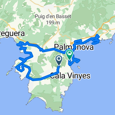
You would like to ride Palmanova - Galilea - Valldemossa - Sóller - Coll de Sóller - Esporles - Galilea - Palmanova or customize it for your own trip? Here is what you can do with this Bikemap route:
Free trial for 3 days, or one-time payment. More about Bikemap Premium.
Discover more Premium features.
Get Bikemap PremiumFrom our community
Open it in the app