

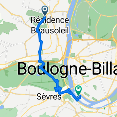
Saint cloud>> les petites dalles
A cycling route starting in Saint-Cloud, Île-de-France Region, France.
Overview
About this route
- -:--
- Duration
- 190.4 km
- Distance
- 720 m
- Ascent
- 803 m
- Descent
- ---
- Avg. speed
- ---
- Max. altitude
Route quality
Waytypes & surfaces along the route
Waytypes
Quiet road
32.4 km
(17 %)
Road
17.1 km
(9 %)
Surfaces
Paved
104.7 km
(55 %)
Unpaved
1.9 km
(1 %)
Asphalt
102.8 km
(54 %)
Paved (undefined)
1.9 km
(1 %)
Route highlights
Points of interest along the route
Point of interest after 0 km
Continue with Bikemap
Use, edit, or download this cycling route
You would like to ride Saint cloud>> les petites dalles or customize it for your own trip? Here is what you can do with this Bikemap route:
Free features
- Save this route as favorite or in collections
- Copy & plan your own version of this route
- Split it into stages to create a multi-day tour
- Sync your route with Garmin or Wahoo
Premium features
Free trial for 3 days, or one-time payment. More about Bikemap Premium.
- Navigate this route on iOS & Android
- Export a GPX / KML file of this route
- Create your custom printout (try it for free)
- Download this route for offline navigation
Discover more Premium features.
Get Bikemap PremiumFrom our community
Other popular routes starting in Saint-Cloud
 Autour du château de Versailles
- Distance
- 45.7 km
- Ascent
- 634 m
- Descent
- 634 m
- Location
- Saint-Cloud, Île-de-France Region, France
 Saint cloud>> les petites dalles
- Distance
- 190.4 km
- Ascent
- 720 m
- Descent
- 803 m
- Location
- Saint-Cloud, Île-de-France Region, France
 St Cloud Bagneux au plus court
- Distance
- 14.3 km
- Ascent
- 126 m
- Descent
- 151 m
- Location
- Saint-Cloud, Île-de-France Region, France
 Paris x Reims x Paris
- Distance
- 412 km
- Ascent
- 1,148 m
- Descent
- 1,147 m
- Location
- Saint-Cloud, Île-de-France Region, France
 Relaxed route in Paris
- Distance
- 14.3 km
- Ascent
- 119 m
- Descent
- 157 m
- Location
- Saint-Cloud, Île-de-France Region, France
 Tout droit à l'intérieur Boulogne-Billancourt
- Distance
- 8.4 km
- Ascent
- 93 m
- Descent
- 152 m
- Location
- Saint-Cloud, Île-de-France Region, France
 PSC-TST-001
- Distance
- 163.5 km
- Ascent
- 558 m
- Descent
- 556 m
- Location
- Saint-Cloud, Île-de-France Region, France
 Rock En Seine
- Distance
- 16.4 km
- Ascent
- 187 m
- Descent
- 108 m
- Location
- Saint-Cloud, Île-de-France Region, France
Open it in the app