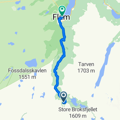
Premium Badge Download on the App Store Get it on Google Play Turn-by-turn Navigation Offline Maps Bike Type Optimized Routing Premium Maps Custom Bike Computer Export Routes Route Previews Fall Detection Premium Support

Cycling Route in Aurlandsvangen, Sogn og Fjordane Fylke, Norway

abwärts von Myrdal nach Flam

0
Open this route in the Bikemap app

Open this route in the Bikemap app

Open this route in Bikemap Web

Open this route in Bikemap Web

19 km
Distance
1199 m
Ascent
2196 m
Descent
-:-- h
Duration
-- km/h
Avg. Speed
--- m
Max. Elevation

About This Route

mit der Flambahn (Fahradmitnahme) von 0 bis über 900 mNN hinauf nach Myrdal, um dann durch grandiose Landschaft knapp 20 km abwärts zu radeln, aber Vorsicht im ersten steilen Streckenabschnitt auf grobem Schotter.

This cycling route is ideal for: MTB

You will cycle on the following surfaces: Paved Gravel

Customize this cycling route with the Bikemap route planner.

Make it yours!

Did you know? You can use this route as a template in our cycling route planner if you don't wish to start from scratch. Customize it based on your needs to plan your perfect cycling tour.

Open it in the app