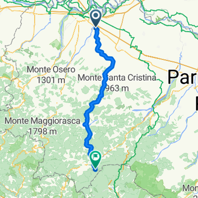
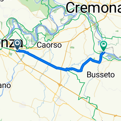
Overview
About this route
- -:--
- Duration
- 138.9 km
- Distance
- 321 m
- Ascent
- 299 m
- Descent
- ---
- Avg. speed
- ---
- Max. altitude
Part of
Allauch 2012
10 stages
Route quality
Waytypes & surfaces along the route
Waytypes
Quiet road
69.5 km
(50 %)
Road
27.8 km
(20 %)
Surfaces
Paved
50 km
(36 %)
Unpaved
1.4 km
(1 %)
Asphalt
48.6 km
(35 %)
Paved (undefined)
1.4 km
(1 %)
Route highlights
Points of interest along the route
Point of interest after 68.1 km
Mittagsrastplatz
Accommodation after 138.9 km
Hotel Europa
Continue with Bikemap
Use, edit, or download this cycling route
You would like to ride Allauch 5. Etappe or customize it for your own trip? Here is what you can do with this Bikemap route:
Free features
- Save this route as favorite or in collections
- Copy & plan your own version of this route
- Split it into stages to create a multi-day tour
- Sync your route with Garmin or Wahoo
Premium features
Free trial for 3 days, or one-time payment. More about Bikemap Premium.
- Navigate this route on iOS & Android
- Export a GPX / KML file of this route
- Create your custom printout (try it for free)
- Download this route for offline navigation
Discover more Premium features.
Get Bikemap PremiumFrom our community
Other popular routes starting in Pontenure
- Minchiata 2015
- Distance
- 186.3 km
- Ascent
- 2,741 m
- Descent
- 2,795 m
- Location
- Pontenure, Emilia-Romagna, Italy
- a) 06 PC Percorso Pontenure - Fiorenzuola d'Arda
- Distance
- 46.9 km
- Ascent
- 350 m
- Descent
- 335 m
- Location
- Pontenure, Emilia-Romagna, Italy
- Allauch 5. Etappe
- Distance
- 138.9 km
- Ascent
- 321 m
- Descent
- 299 m
- Location
- Pontenure, Emilia-Romagna, Italy
- Route im Schneckentempo in Villanova sull'Arda
- Distance
- 28.7 km
- Ascent
- 282 m
- Descent
- 305 m
- Location
- Pontenure, Emilia-Romagna, Italy
- Percorso rilassato in Pontenure
- Distance
- 11.3 km
- Ascent
- 14 m
- Descent
- 12 m
- Location
- Pontenure, Emilia-Romagna, Italy
- Da Strada Provinciale 32, Pontenure a Strada Provinciale 32, Pontenure
- Distance
- 212.8 km
- Ascent
- 868 m
- Descent
- 868 m
- Location
- Pontenure, Emilia-Romagna, Italy
- Via Roma 38, Pontenure to Via Dante Alighieri 14–16, Fidenza
- Distance
- 26.6 km
- Ascent
- 203 m
- Descent
- 199 m
- Location
- Pontenure, Emilia-Romagna, Italy
- Zürich Valpiana (Toskana) 3. Etappe Piacenza-Viareggio
- Distance
- 202.4 km
- Ascent
- 1,326 m
- Descent
- 1,378 m
- Location
- Pontenure, Emilia-Romagna, Italy
Open it in the app