Sződ-Vácrátót-Göd-Sződ
- 18.9 km
- 106 m
- 106 m
- Sződ, Pest County, Hungary
A cycling route starting in Sződ, Pest County, Hungary.
Overview
created this 1 year ago


Route quality
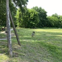
Track
13.1 km
(69 %)
Quiet road
5.1 km
(27 %)
Paved
2.5 km
(13 %)
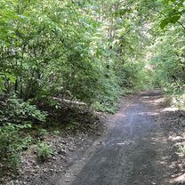
Unpaved
7 km
(37 %)
Ground
4.7 km
(25 %)
Asphalt
2.5 km
(13 %)
Continue with Bikemap
You would like to ride Sződ-Vácrátót-Göd-Sződ or customize it for your own trip? Here is what you can do with this Bikemap route:
Free trial for 3 days, or one-time payment. More about Bikemap Premium.
Discover more Premium features.
Get Bikemap PremiumFrom our community
Open it in the app