Thursday late evening
- 18.4 km
- 266 m
- 295 m
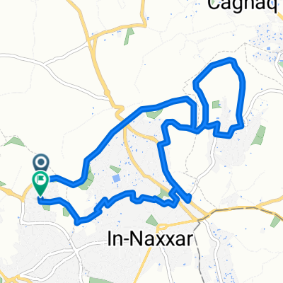
- Mosta, Il-Mosta, Malta
A cycling route starting in Mosta, Il-Mosta, Malta.
Overview
created this 1 year ago


Route quality
Quiet road
10.7 km
(56 %)
Road
2.5 km
(13 %)
Paved
15.1 km
(79 %)
Asphalt
15.1 km
(79 %)
Undefined
4 km
(21 %)
Continue with Bikemap
You would like to ride Mtarfa siteseeing or customize it for your own trip? Here is what you can do with this Bikemap route:
Free trial for 3 days, or one-time payment. More about Bikemap Premium.
Discover more Premium features.
Get Bikemap PremiumFrom our community
Open it in the app