Steady ride in 2waAqAQ22wqwaaq
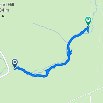
- 1.7 km
- 20 m
- 53 m
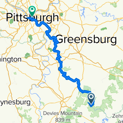
- Dunbar, Pennsylvania, United States
A cycling route starting in Dunbar, Pennsylvania, United States.
Overview
Turkey Foot Rd. is in bad shape; be cautious on descent.
Be aware of dump trucks on Jim Mountain Rd. (Rte. 653) between Normalville and just below the summit where there is a huge quarry.
There are stores in Ohiopyle and Confluence. Also, in Normalville but that requires climbing an additional steep ramp from the turnaround shown on the map.
Route quality
Road
44.9 km
44 %
Quiet road
26.6 km
26 %
Paved
42.9 km
(42 %)
Asphalt
40.9 km
40 %
Paved (undefined)
2 km
2 %
Undefined
59.2 km
58 %
Continue with Bikemap
You would like to ride Ohiopyle four ridge ride (corrected) or customize it for your own trip? Here is what you can do with this Bikemap route:
Free trial for 3 days, or one-time payment. More about Bikemap Premium.
Discover more Premium features.
Get Bikemap PremiumFrom our community
Open it in the app