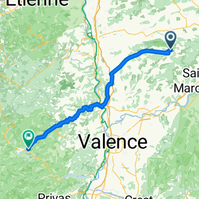
LES MARIONS-LE FAZ-MALLEVAL
A cycling route starting in Roybon, Auvergne-Rh么ne-Alpes, France.
Overview
About this route
- -:--
- Duration
- 96.7 km
- Distance
- 1,742 m
- Ascent
- 1,749 m
- Descent
- ---
- Avg. speed
- ---
- Avg. speed
Route quality
Waytypes & surfaces along the route
Waytypes
Road
56.7 km
(59 %)
Busy road
30.4 km
(31 %)
Surfaces
Paved
23.4 km
(24 %)
Unpaved
0.3 km
(<1 %)
Asphalt
23.4 km
(24 %)
Gravel
0.3 km
(<1 %)
Undefined
73.1 km
(76 %)
Continue with Bikemap
Use, edit, or download this cycling route
You would like to ride LES MARIONS-LE FAZ-MALLEVAL or customize it for your own trip? Here is what you can do with this Bikemap route:
Free features
- Save this route as favorite or in collections
- Copy & plan your own version of this route
- Sync your route with Garmin or Wahoo
Premium features
Free trial for 3 days, or one-time payment. More about Bikemap Premium.
- Navigate this route on iOS & Android
- Export a GPX / KML file of this route
- Create your custom printout (try it for free)
- Download this route for offline navigation
Discover more Premium features.
Get Bikemap PremiumFrom our community
Other popular routes starting in Roybon
- LES MARIONS-LE FAZ-MALLEVAL
- Distance
- 96.7 km
- Ascent
- 1,742 m
- Descent
- 1,749 m
- Location
- Roybon, Auvergne-Rh么ne-Alpes, France
- Roybon - Malaucene 347 km
- Distance
- 347.1 km
- Ascent
- 5,366 m
- Descent
- 5,559 m
- Location
- Roybon, Auvergne-Rh么ne-Alpes, France
- Rhone-Alpes Izere Tour stage 2
- Distance
- 117.2 km
- Ascent
- 1,009 m
- Descent
- 1,235 m
- Location
- Roybon, Auvergne-Rh么ne-Alpes, France
- Roybon - Chambaran
- Distance
- 27.9 km
- Ascent
- 440 m
- Descent
- 441 m
- Location
- Roybon, Auvergne-Rh么ne-Alpes, France
- SSA
- Distance
- 21.7 km
- Ascent
- 311 m
- Descent
- 311 m
- Location
- Roybon, Auvergne-Rh么ne-Alpes, France
- Roybon -Die
- Distance
- 116.3 km
- Ascent
- 2,550 m
- Descent
- 2,649 m
- Location
- Roybon, Auvergne-Rh么ne-Alpes, France
Open it in the app