

RCH-Permanente "Flughafen Tour"
A cycling route starting in Hattersheim, Hesse, Germany.
Overview
About this route
RCH-Permanente
Flughafen Tour Hattersheim, Schwanheim, Niederrad, Neu-isenburg, Dreieich, Götzenhain, Offenthal, Messel, Kranichstein, Ahrheiligen, Schneppenhausen, Mörfelden, Walldorf, Kelsterbach, Hattersheim- -:--
- Duration
- 80.9 km
- Distance
- 182 m
- Ascent
- 183 m
- Descent
- ---
- Avg. speed
- ---
- Max. altitude
Route quality
Waytypes & surfaces along the route
Waytypes
Road
20.3 km
(25 %)
Busy road
14.2 km
(18 %)
Surfaces
Paved
72.8 km
(90 %)
Unpaved
6.2 km
(8 %)
Asphalt
66.8 km
(83 %)
Paving stones
4.9 km
(6 %)
Continue with Bikemap
Use, edit, or download this cycling route
You would like to ride RCH-Permanente "Flughafen Tour" or customize it for your own trip? Here is what you can do with this Bikemap route:
Free features
- Save this route as favorite or in collections
- Copy & plan your own version of this route
- Split it into stages to create a multi-day tour
- Sync your route with Garmin or Wahoo
Premium features
Free trial for 3 days, or one-time payment. More about Bikemap Premium.
- Navigate this route on iOS & Android
- Export a GPX / KML file of this route
- Create your custom printout (try it for free)
- Download this route for offline navigation
Discover more Premium features.
Get Bikemap PremiumFrom our community
Other popular routes starting in Hattersheim
 Betriebssport-Tour der TaunusSparkasse, T1
- Distance
- 48 km
- Ascent
- 583 m
- Descent
- 562 m
- Location
- Hattersheim, Hesse, Germany
 RCH-Permanente "Feldberg Tour"
- Distance
- 78.4 km
- Ascent
- 1,210 m
- Descent
- 1,210 m
- Location
- Hattersheim, Hesse, Germany
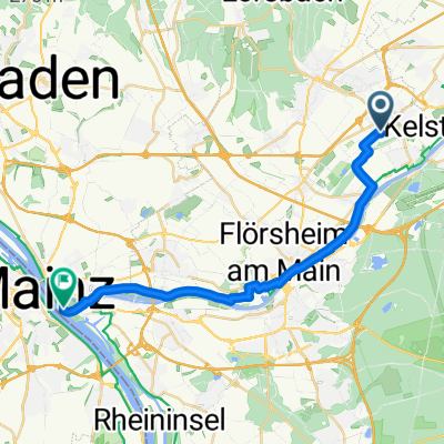 Route nach Mainz
- Distance
- 20.2 km
- Ascent
- 0 m
- Descent
- 10 m
- Location
- Hattersheim, Hesse, Germany
 Giro Hattersheim Tour 3 / 77 km
- Distance
- 71.7 km
- Ascent
- 806 m
- Descent
- 794 m
- Location
- Hattersheim, Hesse, Germany
 Betriebssport-Tour TaunusSparkasse (T1a)
- Distance
- 53.7 km
- Ascent
- 592 m
- Descent
- 605 m
- Location
- Hattersheim, Hesse, Germany
 RCH-Permanente "Taunus Tour"
- Distance
- 64.9 km
- Ascent
- 547 m
- Descent
- 546 m
- Location
- Hattersheim, Hesse, Germany
 Stauffen II
- Distance
- 25.4 km
- Ascent
- 441 m
- Descent
- 439 m
- Location
- Hattersheim, Hesse, Germany
 von Hattersheim nach Mainz Castell und zurück
- Distance
- 43.7 km
- Ascent
- 102 m
- Descent
- 111 m
- Location
- Hattersheim, Hesse, Germany
Open it in the app