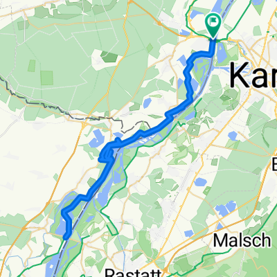
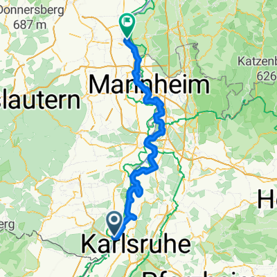
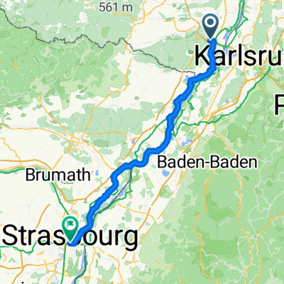
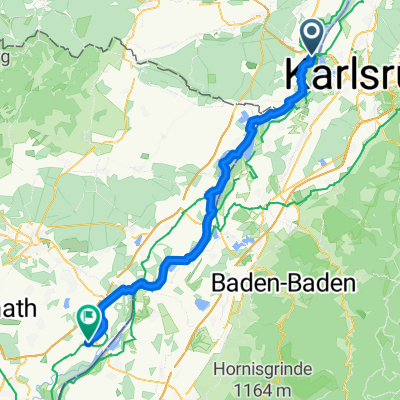
CYCLING THE RHINE: Route 17A
- 82.1 km
- 54 m
- 23 m
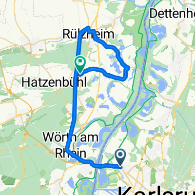
- Wörth am Rhein, Rhineland-Palatinate, Germany
A cycling route starting in Wörth am Rhein, Rhineland-Palatinate, Germany.
Overview
German-French Maifahrt 2010 - 164 km
RTF of RSC Wörth 1980 e.V.
All further information about this route -> click here
created this 13 years ago
Route quality
Road
54 km
(36 %)
Quiet road
19.5 km
(13 %)
Paved
118.5 km
(79 %)
Unpaved
3 km
(2 %)
Asphalt
112.5 km
(75 %)
Paved (undefined)
3 km
(2 %)
Route highlights
Kontrolle <b>Col de Pfaffenschlick</b><br>wird 2 mal angesteuert
Kontrolle <b>Niederotterbach</b><br>wird 2 mal angesteuert
Continue with Bikemap
You would like to ride Deutsch-Französische Maifahrt 2010 - RTF des RSC Wörth 1980 e.V. - 164 km Strecke or customize it for your own trip? Here is what you can do with this Bikemap route:
Free trial for 3 days, or one-time payment. More about Bikemap Premium.
Discover more Premium features.
Get Bikemap PremiumFrom our community
Open it in the app