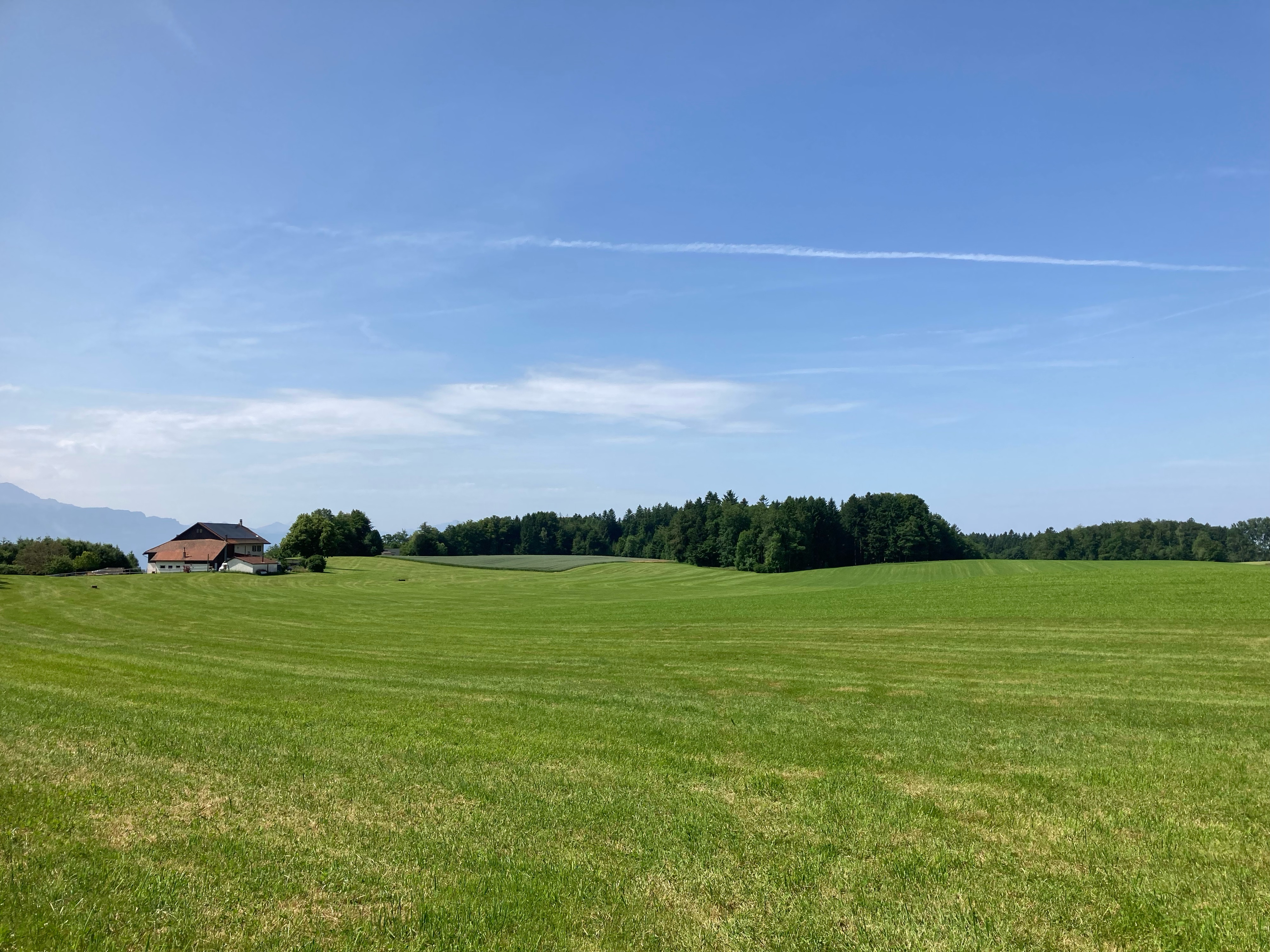
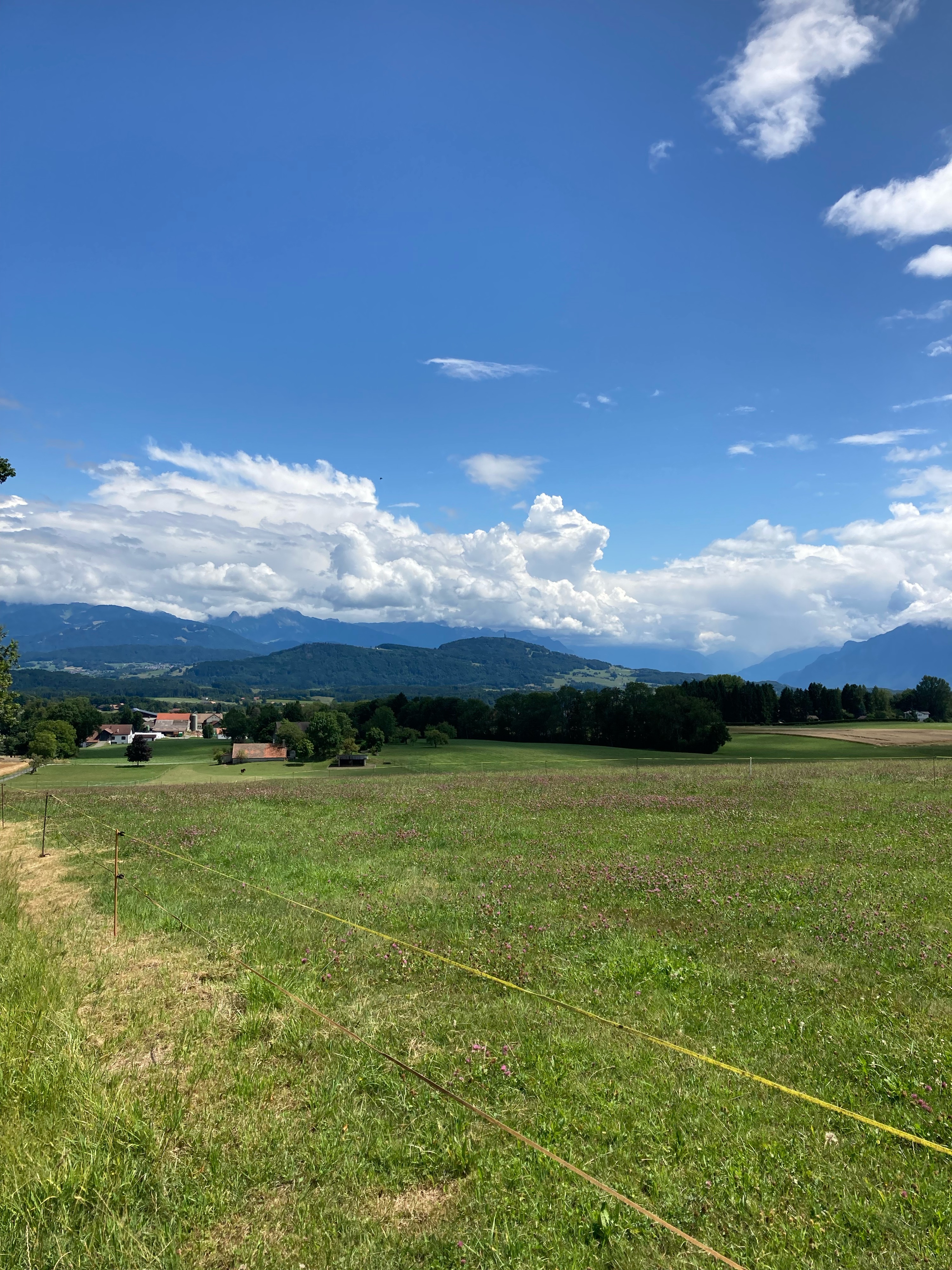
Lausanne-Forel-Grandvaux_2024.05.19
A cycling route starting in Épalinges, Canton of Vaud, Switzerland.
Overview
About this route
- 1 h 40 min
- Duration
- 28.9 km
- Distance
- 449 m
- Ascent
- 450 m
- Descent
- 17.3 km/h
- Avg. speed
- 900 m
- Avg. speed
Route photos
Route quality
Waytypes & surfaces along the route
Waytypes
Road
19.2 km
(67 %)
Busy road
4.1 km
(14 %)
Surfaces
Paved
11.2 km
(39 %)
Unpaved
0 km
(<1 %)
Asphalt
10.6 km
(37 %)
Paved (undefined)
0.6 km
(2 %)
Continue with Bikemap
Use, edit, or download this cycling route
You would like to ride Lausanne-Forel-Grandvaux_2024.05.19 or customize it for your own trip? Here is what you can do with this Bikemap route:
Free features
- Save this route as favorite or in collections
- Copy & plan your own version of this route
- Sync your route with Garmin or Wahoo
Premium features
Free trial for 3 days, or one-time payment. More about Bikemap Premium.
- Navigate this route on iOS & Android
- Export a GPX / KML file of this route
- Create your custom printout (try it for free)
- Download this route for offline navigation
Discover more Premium features.
Get Bikemap PremiumFrom our community
Other popular routes starting in Épalinges
- Lausanne-Grandvaux_2023.05.29
- Distance
- 20.3 km
- Ascent
- 582 m
- Descent
- 581 m
- Location
- Épalinges, Canton of Vaud, Switzerland
- LS-Signal_2020.05.17
- Distance
- 19.9 km
- Ascent
- 1,103 m
- Descent
- 1,104 m
- Location
- Épalinges, Canton of Vaud, Switzerland
- Lausanne-La Tornire_2022.06.25
- Distance
- 17.1 km
- Ascent
- 496 m
- Descent
- 486 m
- Location
- Épalinges, Canton of Vaud, Switzerland
- Epalinges-Yvonand-Neyruz-Epalinges
- Distance
- 99.8 km
- Ascent
- 910 m
- Descent
- 910 m
- Location
- Épalinges, Canton of Vaud, Switzerland
- LS-Grandvaux_2024.04.14
- Distance
- 20.3 km
- Ascent
- 930 m
- Descent
- 880 m
- Location
- Épalinges, Canton of Vaud, Switzerland
- LS Sallaz-Signal_2020.05.10
- Distance
- 21.5 km
- Ascent
- 793 m
- Descent
- 722 m
- Location
- Épalinges, Canton of Vaud, Switzerland
- Lausanne-Grandvaux_2021.07.30
- Distance
- 51.8 km
- Ascent
- 808 m
- Descent
- 803 m
- Location
- Épalinges, Canton of Vaud, Switzerland
- Tour route Le Mont - Chalet à Gobet
- Distance
- 15.1 km
- Ascent
- 279 m
- Descent
- 279 m
- Location
- Épalinges, Canton of Vaud, Switzerland